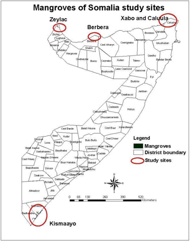
Timely Monitoring of Mangroves in Somalia
Mangroves in Somalia play a vital role in reducing shoreline erosion, and habitats for fish and birds are critical for conserving biological diversity. Somalia has the longest…31 Oct 2023
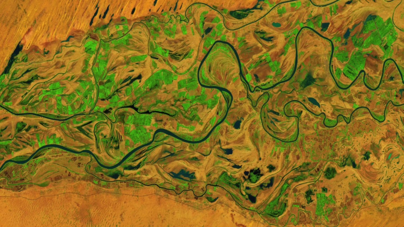
Art and Science unite to highlight climate change efforts
Digital Earth Africa and Digital Earth Australia feature in the latest art installation from Grayson Cooke. Digital Earth Australia (DEA) and Digital Earth Africa (DE Africa)…26 Sep 2023
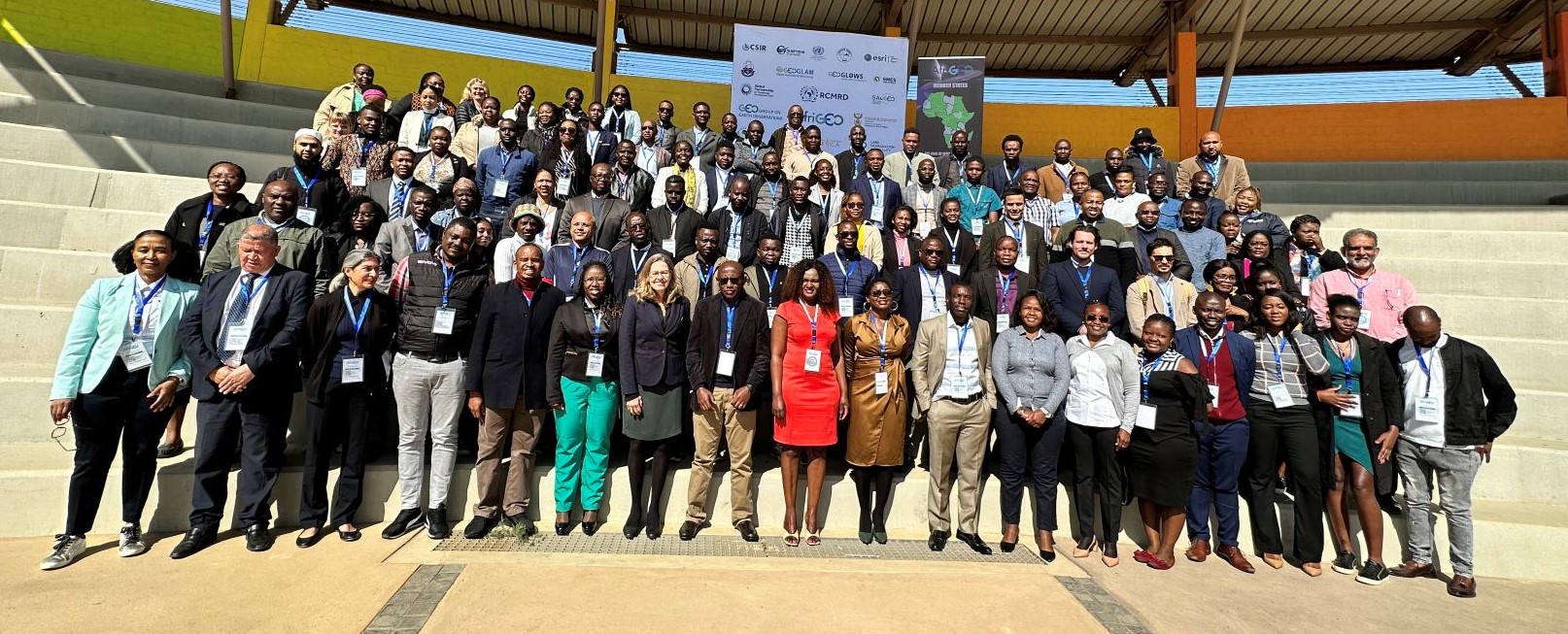
DE Africa's Impactful Participation at the 7th AfriGEO Symposium
Digital Earth Africa (DE Africa) was a sponsor at the 7th AfriGEO Symposium in Swakopmund, Namibia, which took place from 20 to 22 September 2023. The Symposium was held at…25 Sep 2023
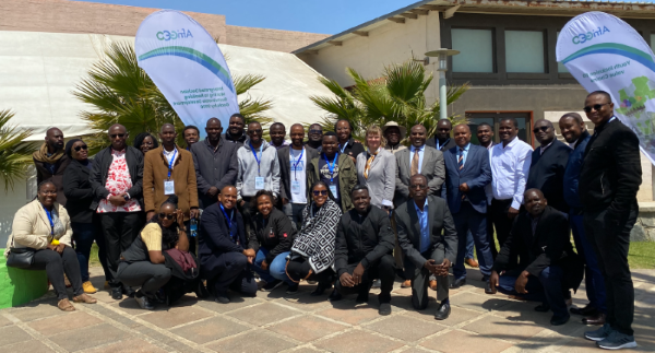
Digital Earth Africa participates in training workshop at the 7th AfriGEO Symposium
Digital Earth Africa (DE Africa) participated at the 7th AfriGEO Symposium in Swakopmund, Namibia on 18th to 22nd September 2023. 7th AfriGEO Symposium was held at the…25 Sep 2023
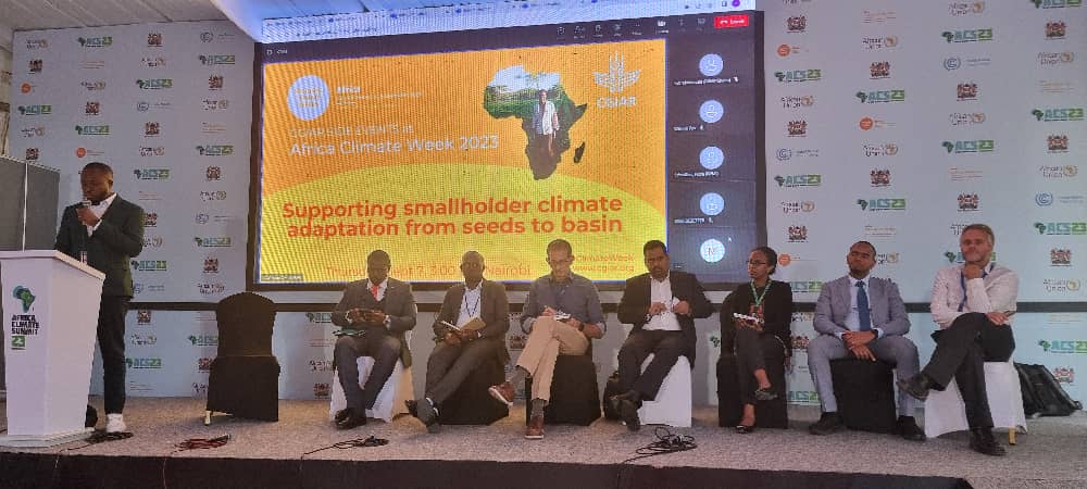
Digital Earth Africa at Africa Climate Week 2023
Digital Earth Africa (DE Africa) participated in Africa Climate Week 2023 (ACW 2023) in Nairobi, Kenya, from 4-8 September 2023. ACW 2023 ultimately aimed to address climate…11 Sep 2023
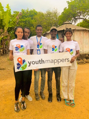
YouthMappers using Earth observation to achieve more sustainable water management practices
According to the United Nations, 2.4 billion people in the world live in water stressed countries. Addressing the UN 2030 Agenda for Sustainable Development Goal (SDG 6), ensuring…06 Sep 2023
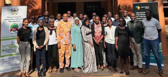
Digital Earth Africa Workshop at the Advances in Geomatics Research Conference (AGRC2023)
Digital Earth Africa (DE Africa) was honoured to participate at the 7th Advances in Geomatics Research Conference (AGRC2023) hosted by the Department of Geomatics and Land…24 Aug 2023
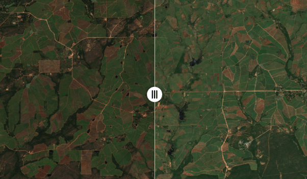
Digital Earth Africa releases new Rolling Monthly GeoMAD continental service
Digital Earth Africa is proud to launch a new, operational continental service, providing monthly high-resolution cloud-free composites for the entire African continent. This…15 Aug 2023
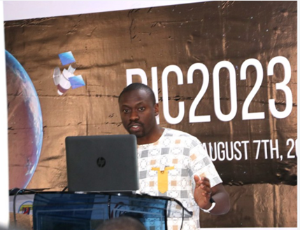
Digital Earth Africa at the RCMRD International Conference 2023
Digital Earth Africa (DE Africa) was honoured to participate at the Regional Centre for Mapping for Resources for Development (RCMRD) International Conference (RIC2023) from 8-10…11 Aug 2023
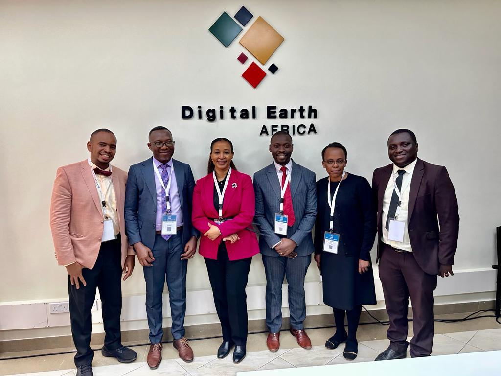
Celebrating a Landmark: Inauguration of Digital Earth Africa Satellite Office
A new chapter in collaboration was marked, as the first Digital Earth Africa Satellite Office was officially inaugurated. The first Digital Earth Africa Satellite Office was…08 Aug 2023