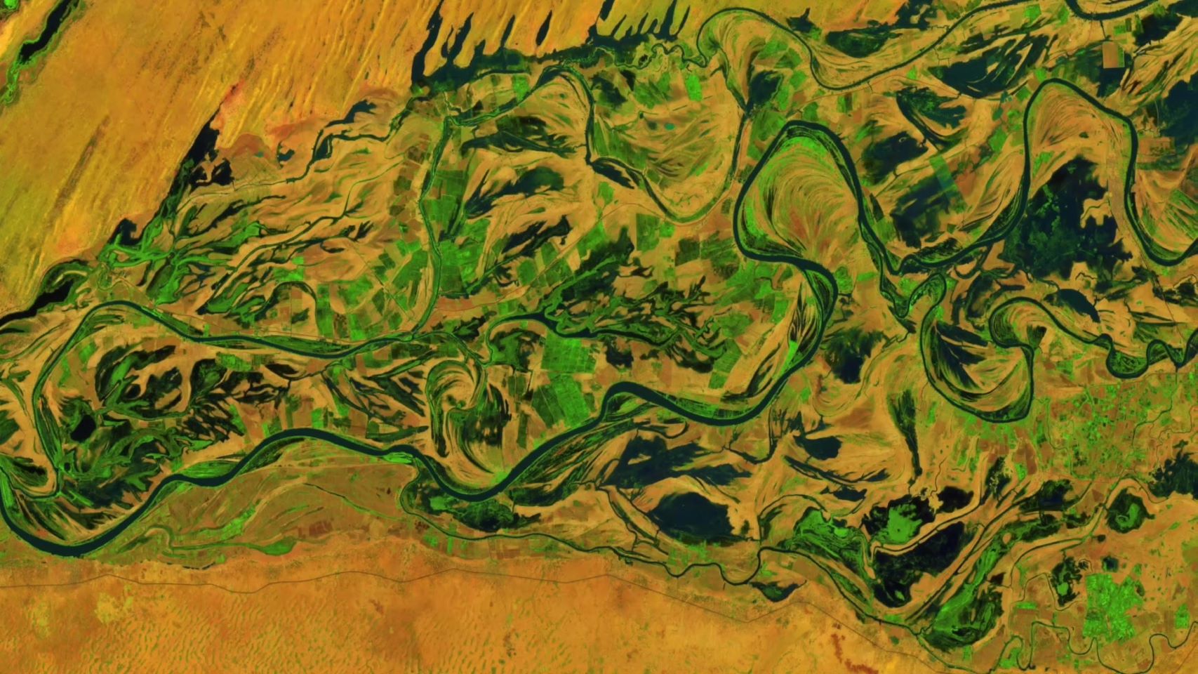
Digital Earth Africa secures additional funding from The Leona M. and Harry B. Helmsley Charitable Trust to deepen real-world impact
JOHANNESBURG, 22 April 2025—When the ground-breaking Digital Earth Africa (DE Africa) program was launched over five years ago, it was widely regarded as an innovative and…22 Apr 2025
Unlocking Agricultural Insights: AGRHYMET and Digital Earth Africa’s Crop Mapping Initiative
Agriculture remains the backbone of many African economies, yet it faces persistent challenges such as climate change, food security, and resource management. To address these…26 Mar 2025
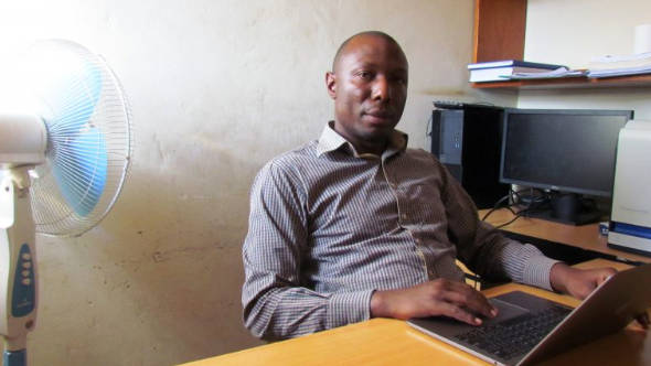
Fostering innovation, capacity development, and sustainable growth in geospatial and EO data with Kyambogo University
Digital Earth Africa (DE Africa) and the Kyambogo University in Uganda are collaborating to train the next generation of future leaders that will use earth observation for natural…26 Mar 2025
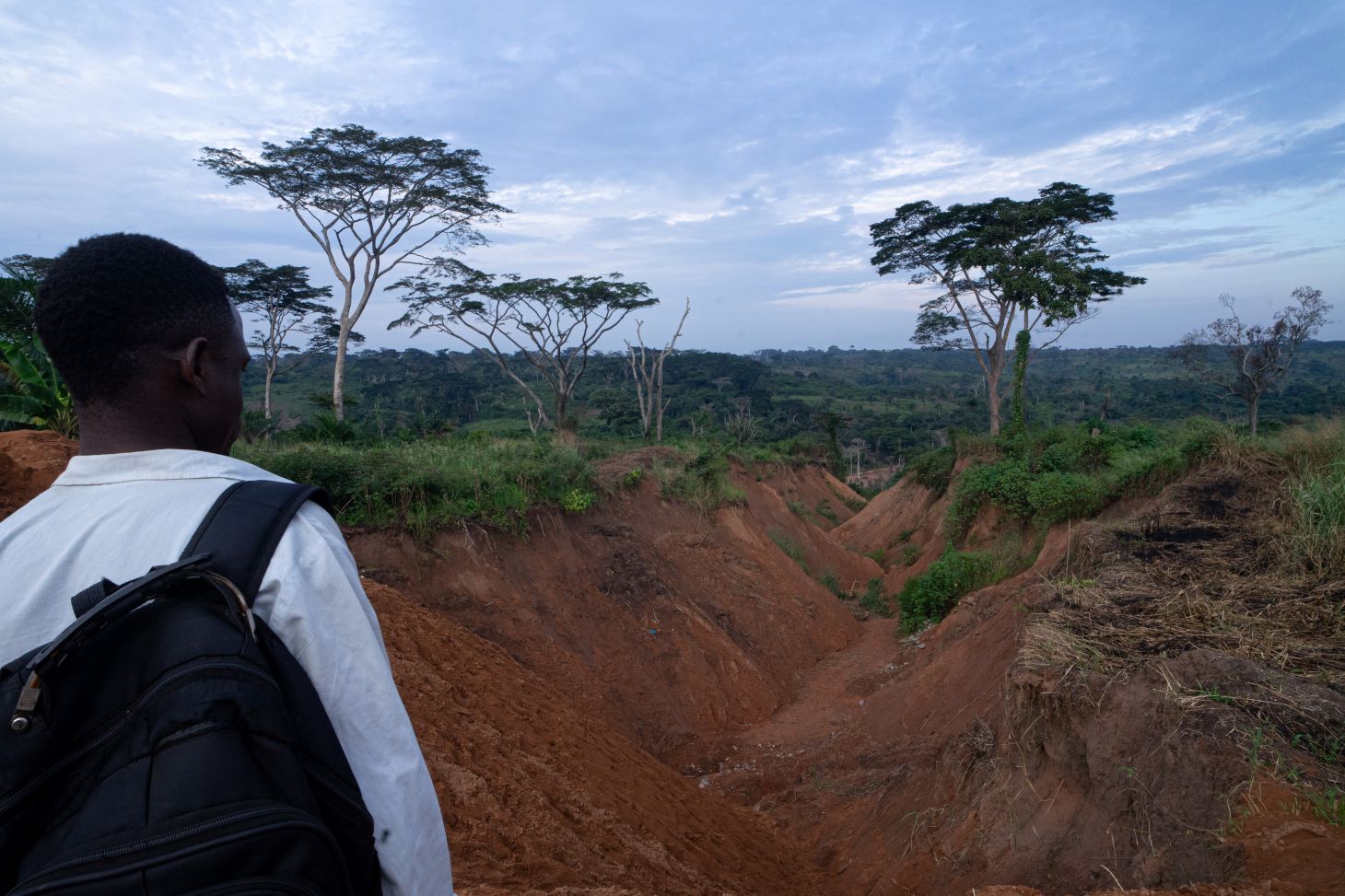
Demystifying erosion in the DRC – a journalist investigates
To say that unchecked soil erosion in the Kasai region of the Democratic Republic of Congo (DRC) is a direct threat to livelihoods and food security for local communities is no…25 Mar 2025
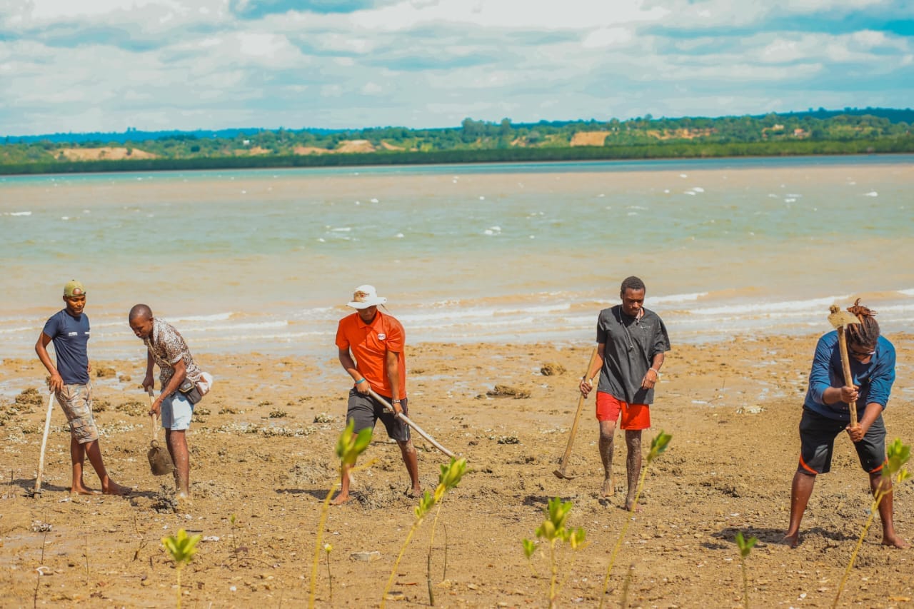
Empowering communities with earth observation data: FarmCom’s mission to preserve Kilifi’s mangroves
Mangroves are an ecological treasure, thriving in coastal regions and serving as vital habitats for wildlife, natural protectors against soil erosion, and economic lifelines for…25 Mar 2025
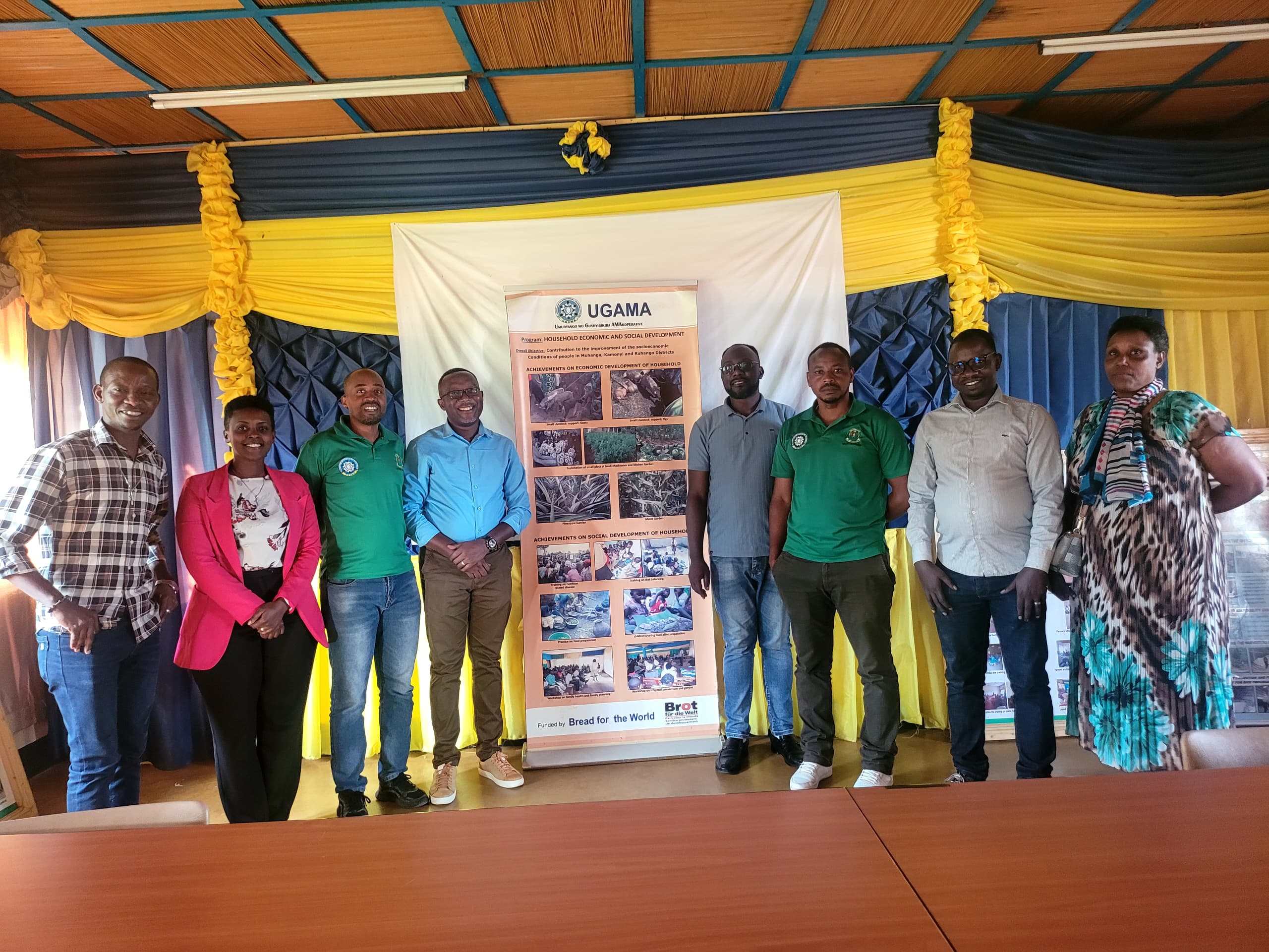
UGAMA Embraces Earth Observation for Climate-Resilient Agriculture in Rwanda
In a significant step toward enhancing climate-resilient agricultural practices, Umuryango wo Gushyigikira AMAkoperative (UGAMA), a Rwandan non-governmental organization, has…20 Mar 2025
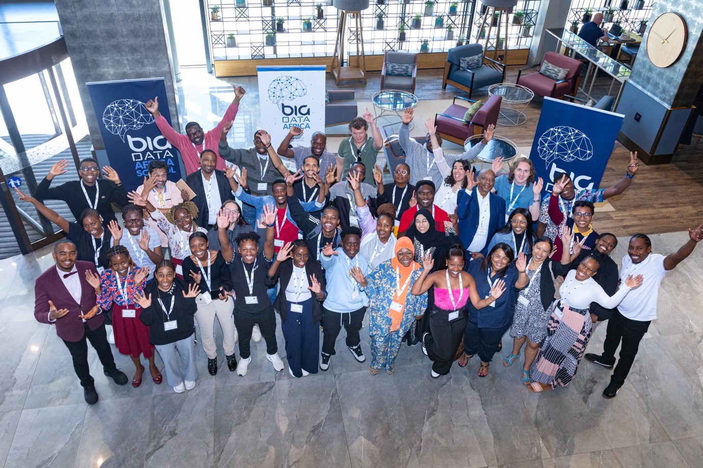
Digital Earth Africa at the 5th Big Data Africa School: Empowering the Next Generation of Data Scientists
The 5th Big Data Africa School, funded by the UK’s International Science Partnerships Fund through the Development in Africa with Radio Astronomy (DARA) project, took place from…19 Mar 2025
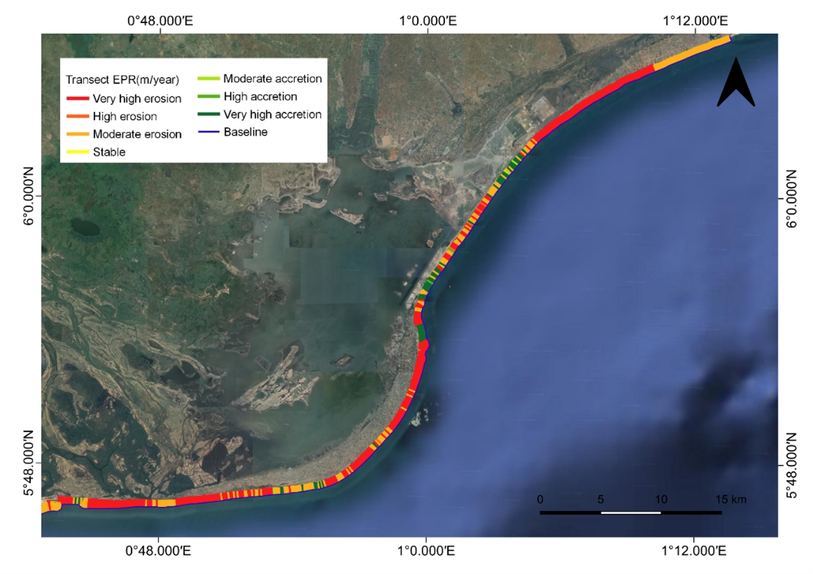
DE Africa’s tools are revolutionising how coastal erosion is studied in Ghana
Ghana’s coastline is undergoing rapid transformation due to coastal erosion, impacting local communities, ecosystems, and economic activities. To better understand and address…17 Mar 2025
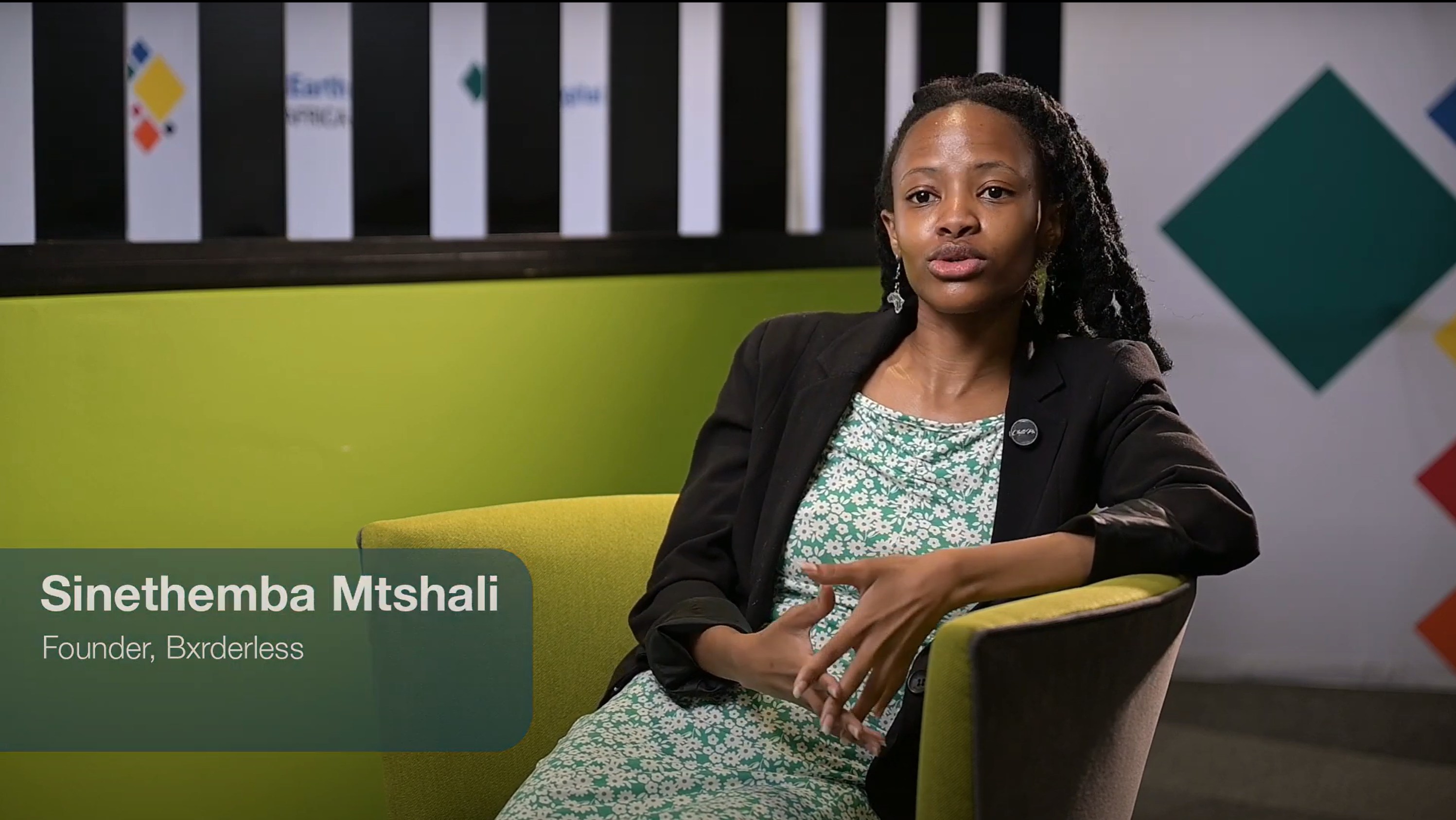
Women Leading Change with Digital Earth Africa
Diversity and inclusion are fundamental to the mission of Digital Earth Africa (DE Africa). Across the continent, women are making significant contributions to science, Earth…14 Mar 2025

Bridging Geospatial Innovation and Capacity Building: Sena ADIMOU on AFRIGIST’s Partnership with DE Africa
Sena Ghislain C. Adimou is a geospatial analyst and systems administrator at the African Regional Institute for Geospatial Information Science and Technology (AFRIGIST) in Ile-Ife…13 Mar 2025