
Renforcement des Capacités en Observations de la Terre (OT) à travers le Project "EO Capacity Madagascar" à Madagascar
Qu’est-ce que le projet: EO Capacity Madagascar?
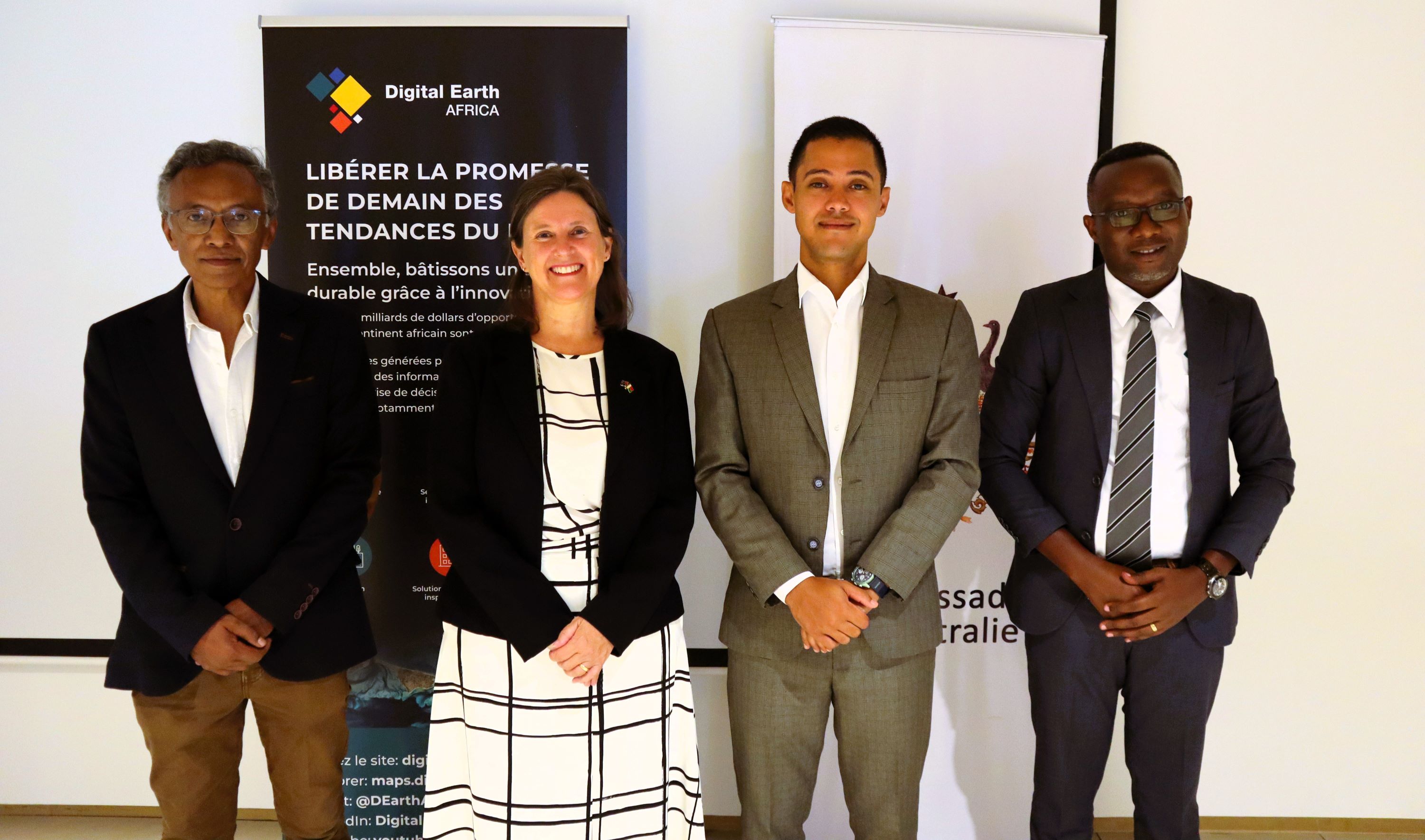
Digital Earth Africa, en collaboration avec l'ambassade d'Australie à Maurice, ont lancé une…
EOCapacity: Madagascar
What is the EOCapacity: Madagascar Project?
Digital Earth Africa, in collaboration with the Australian Embassy in Mauritius, are implementing an Earth observation (EO) initiative in Madagascar, which aims to empower…
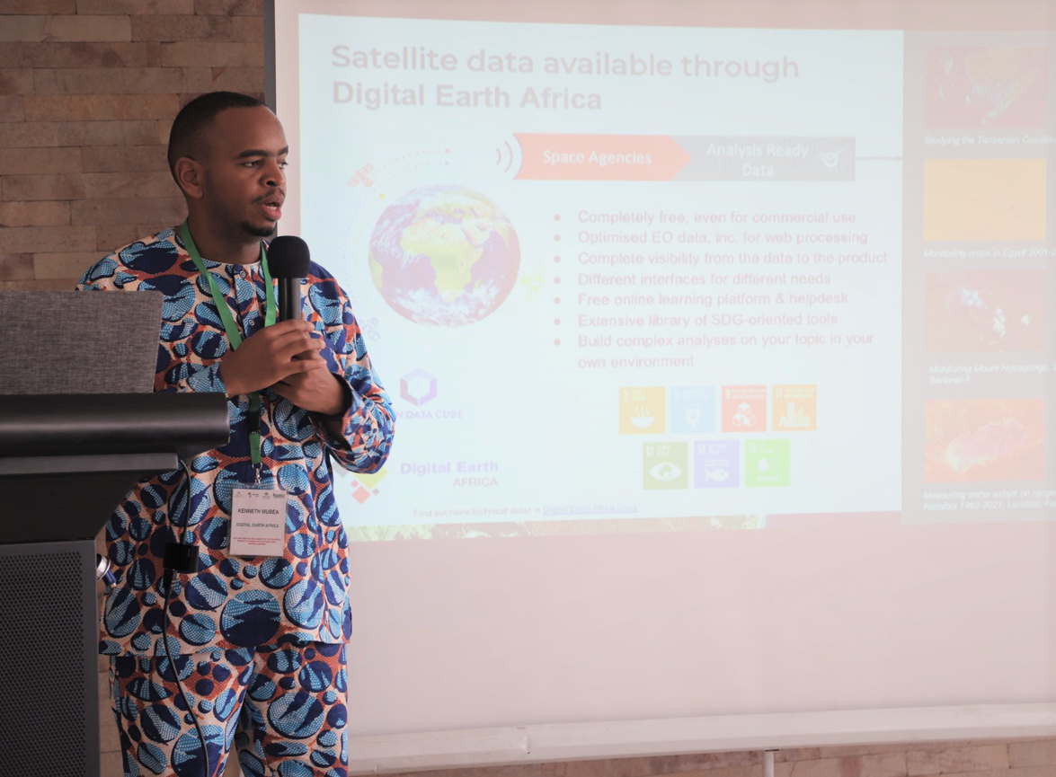
Information for Agriculture, Food and Water Security (IAFWS)
What is the IAFWS project?
The Information for Agriculture, Food and Water Security (IAFWS) project seeks to improve lives, through the productivity of smallholder farmers and demonstrate what can be learnt from Earth observation. The one…
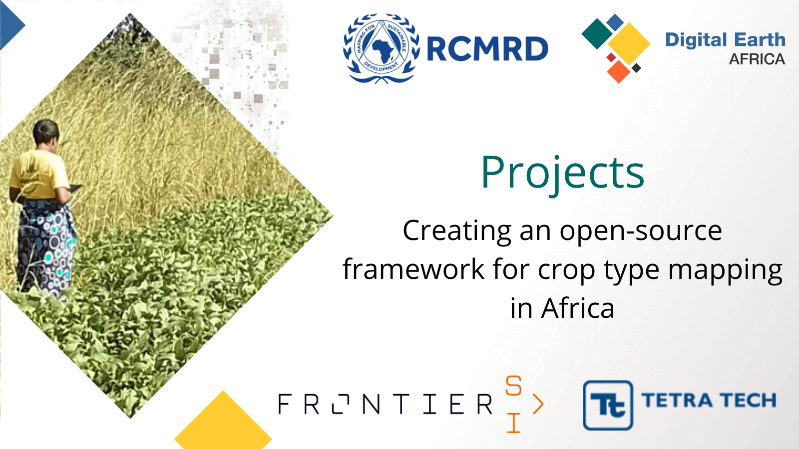
Creating an open-source framework for Crop-Type mapping in Africa
What is the project ‘Creating an open-source framework for Crop-Type mapping in Africa’?
Digital Earth Africa partnered with the Regional Centre for Mapping of Resources for Development (RCMRD)…