 English
  Português
  Français
  العربية
 Digital Earth Africa
Services
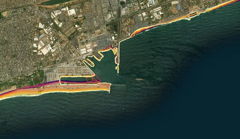
Coastlines Service & Dashboard
Our Coastlines Monitoring Service leverages satellite data to map the historical position of the African coastline over time. It provides insights into past changes and highlights areas of potential concern for the future.
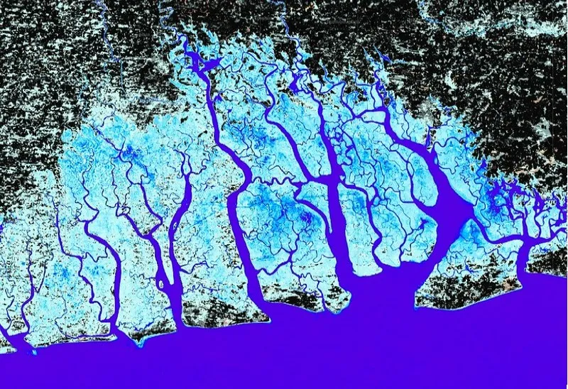
Waterbodies Continental Service
The Waterbodies Monitoring Service identifies more than 700,000 unique water bodies across Africa, incorporating over forty years of satellite observations.
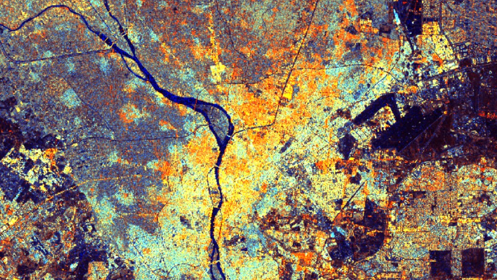
Water Observations from Space (WOfS)
Water monitoring and management was identified as the first priority area for DE Africa. To address this, we have made a continental scale water monitoring service available.
Water Quality Monitoring Service
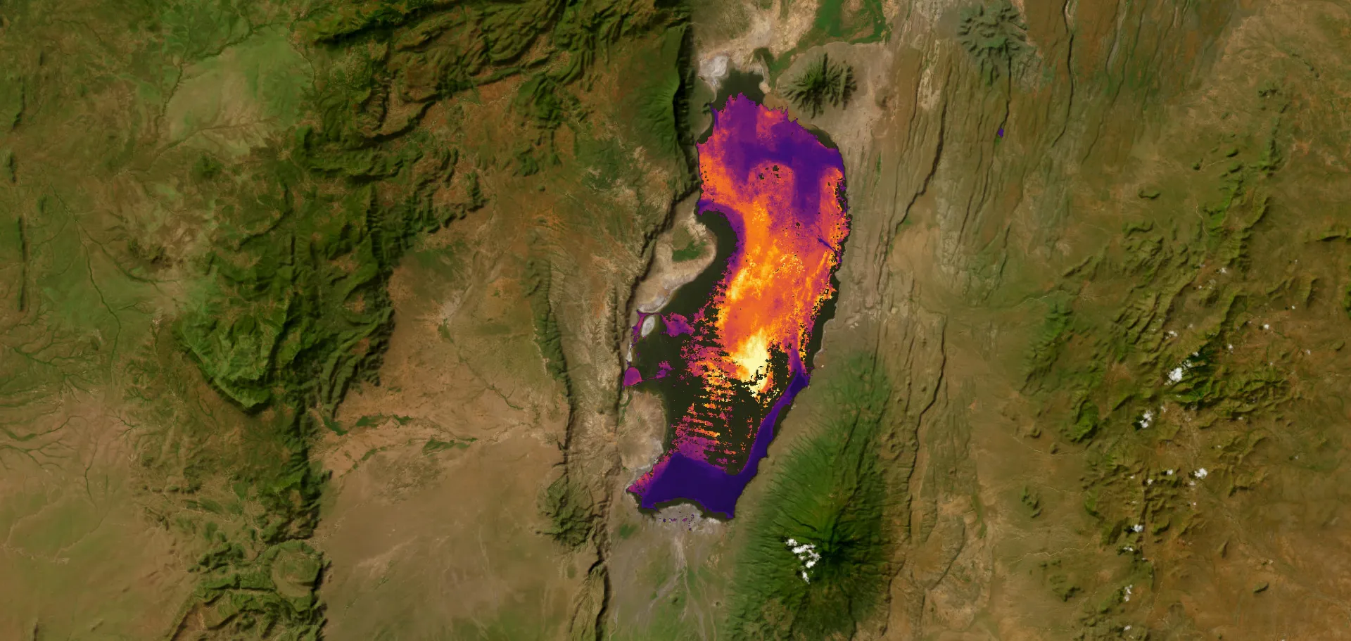
The Water Quality Monitoring Service delivers harmonised, satellite-derived insights into the condition of lakes, dams, and reservoirs across Africa, advancing beyond mapping water extent to understanding water quality.
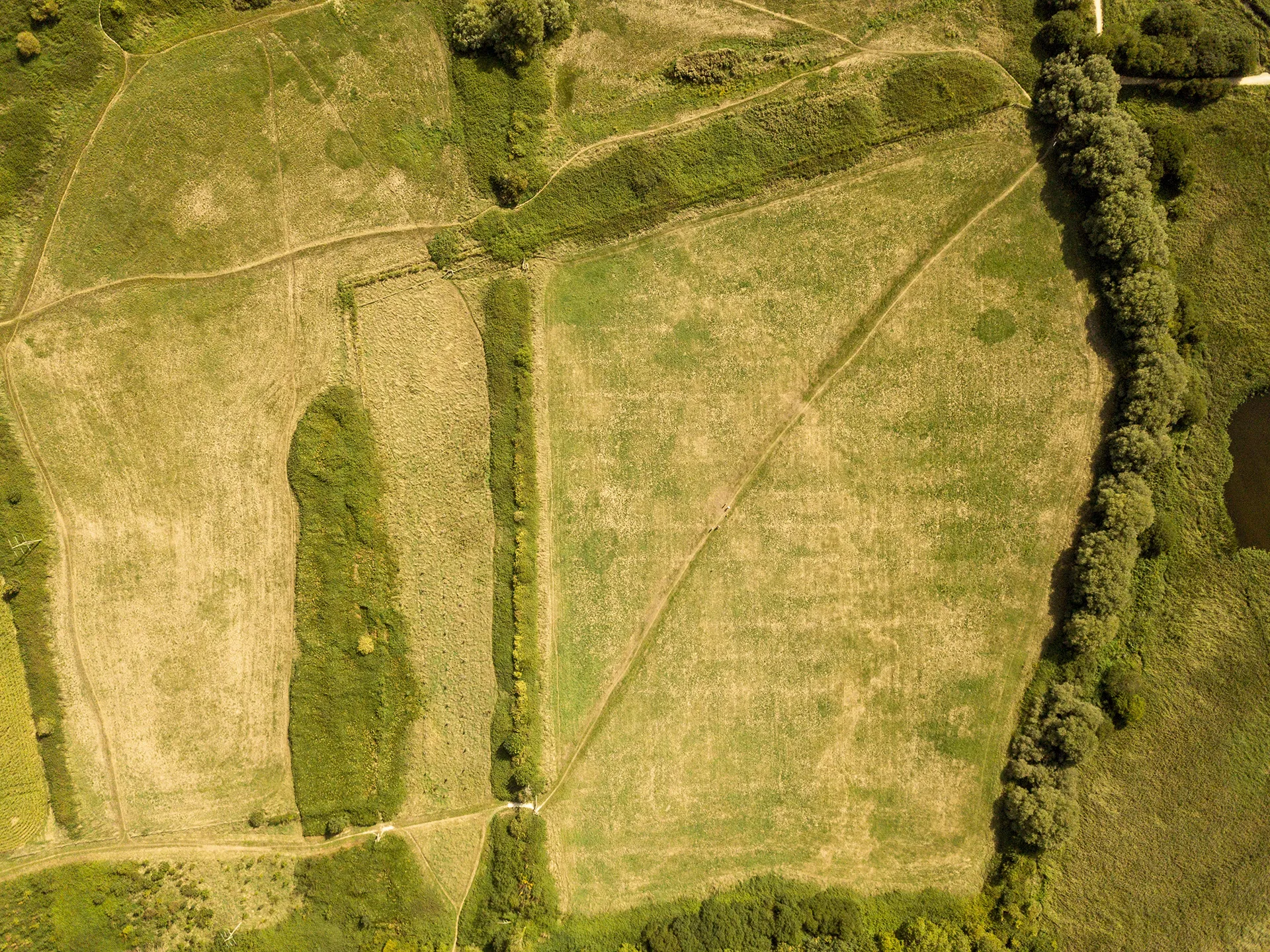
Cropland Extent Map
A provisional service for the cropland extent map is now available on the Digital Earth Africa Map. It covers the entire African continent, including Madagascar, Mauritius, Reunion and Comoros.
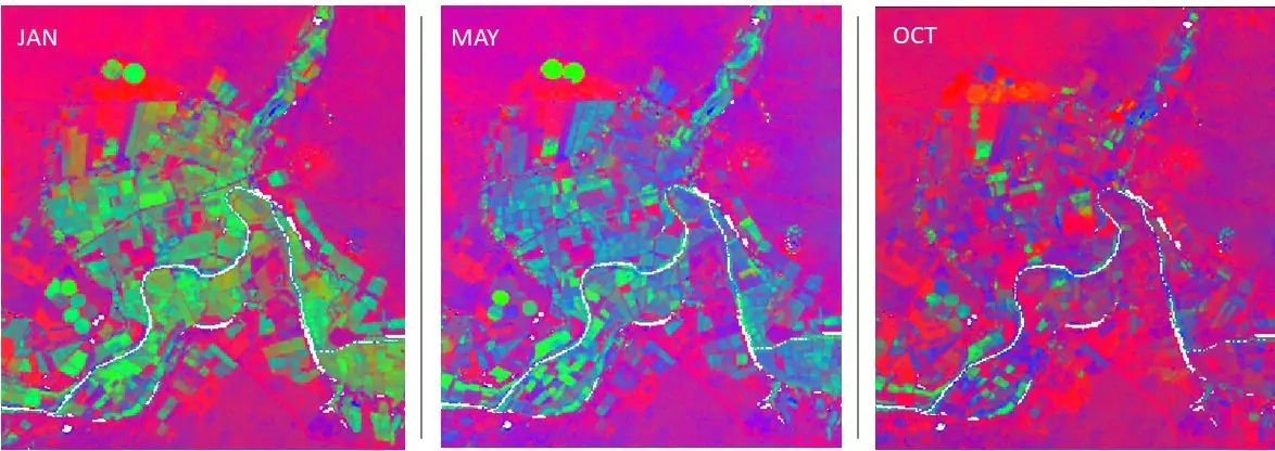
Fractional Cover
Fractional Cover is a powerful analysis service that describes the landscape by providing a classification of ground cover. It shows representative values for the proportion of bare, green and non-green cover on the Earth’s surface.
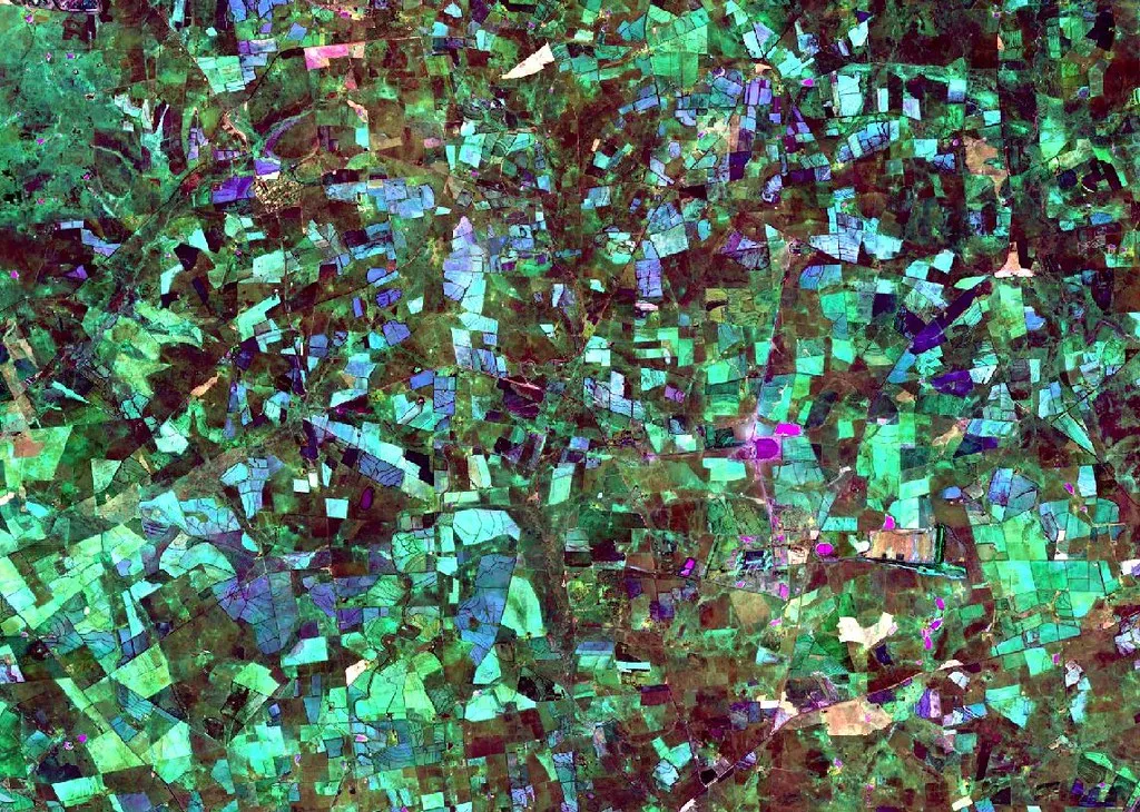
GeoMAD
GeoMAD offers more than just high-quality image production; it’s an invaluable tool for analysing changes over specific time periods.
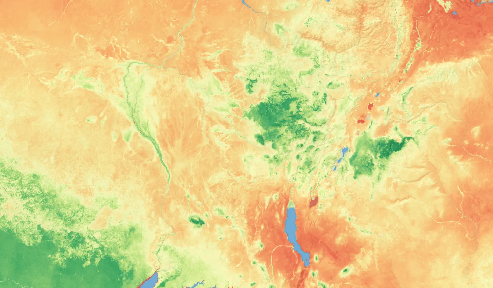
Mean NDVI and Anomalies
Digital Earth Africa’s Mean NDVI and Anomalies service provides a monthly estimate of vegetation health and its comparison to long-term average conditions.