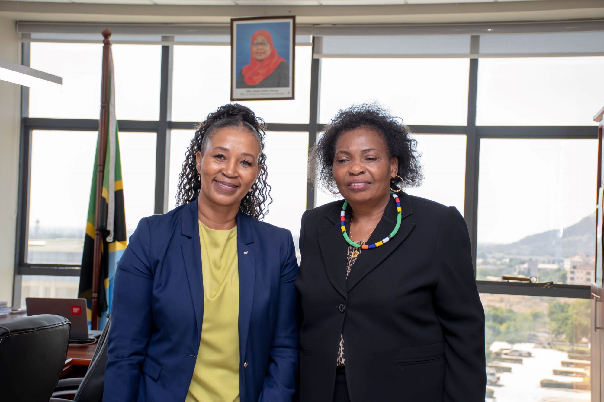
Partnerships through collaboration: Digital Earth Africa visits the National Bureau of Statistics in Dodoma, Tanzania
Digital Earth Africa (DE Africa) Managing Director, Dr Thembi Xaba, visited the National Bureau of Statistics (NBS) in Dodoma, Tanzania, this week to present on DE Africa work and…02 Aug 2023
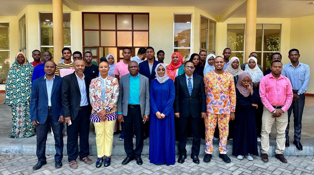
Introducing the Digital Earth Africa Industrial Training Programme at the State University of Zanzibar
Industrial training is a crucial phase in a student's journey, allowing them to apply the knowledge and skills acquired during their academic semesters to real-world scenarios.…31 Jul 2023

Building a more sustainable and resilient future through Youth empowerment
Meet one of the four DE Africa and YouthMappers Technical Challenge winners Digital Earth Africa proudly acknowledges the African champions in the geospatial informatics industry…26 Jul 2023
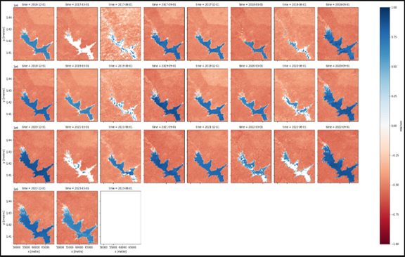
Monitoring Dams in Burkina Faso using Digital Earth Africa
Over the last two decades, climate change and sectoral climate impacts have adversely affected people in Africa and consequently have seen West Africa experience adverse effects…17 Jul 2023
Climate Resilience: DE Africa Community Stories - Rodrigue FOTIE LELE
In the vast landscapes of Burkina Faso, a dedicated geoscientist is making a profound impact on the safety and sustainability of dam water resources. Meet Rodrigue, a 15-year…17 Jul 2023
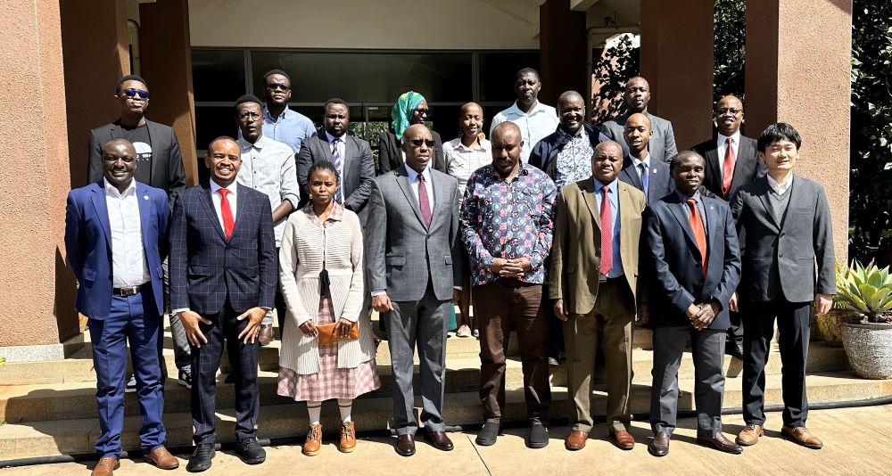
Digital Earth Africa at the inaugural Space Ungana, Nairobi, Kenya 10 – 12 July 2023
Digital Earth Africa (DE Africa) participated at the inaugural SPACE UNGANA 2023, held on 10-12 July 2023, at Jomo Kenyatta University of Agriculture and Technology (JKUAT),…12 Jul 2023

In Loving Memory of Victor Owusu Addabor
It is with deep sorrow and heavy hearts that we learnt of the untimely passing of Victor Owusu Addabor, a cherished member of the Digital Earth Africa Product Development Task…10 Jul 2023
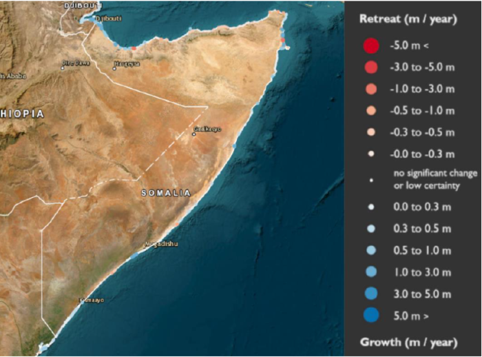
Using Earth Observation and Geospatial Capabilities to Strengthen the Timely Monitoring of Environmental SDG Indicators in Somalia
Somalia faces a significant challenge in obtaining accurate, up-to-date, and disaggregated agricultural, environmental, and climate change data. This challenge is compounded by…03 Jul 2023
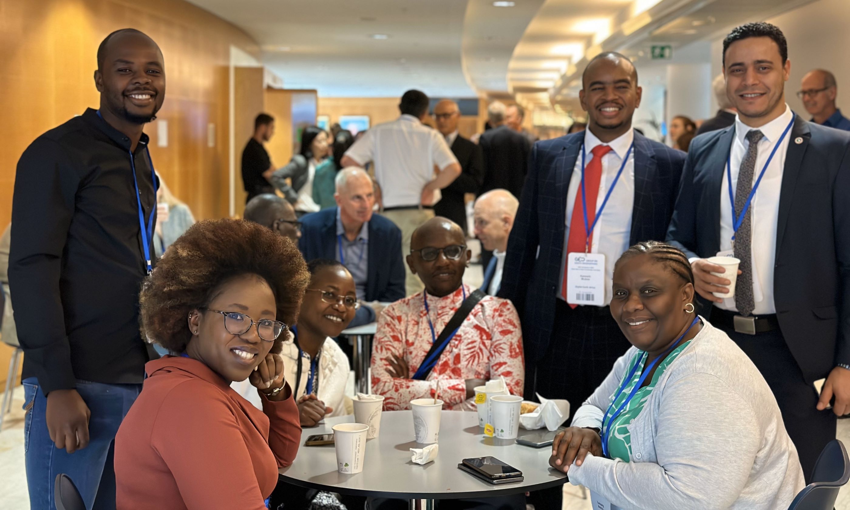
Digital Earth Africa at GEO Symposium 2023 and Open Data & Open Knowledge Workshop
Digital Earth Africa (DE Africa) attended the Group of Earth Observations (GEO) Symposium 2023, followed by the Open Data and Open Knowledge Workshop, in Geneva, Switzerland from…16 Jun 2023
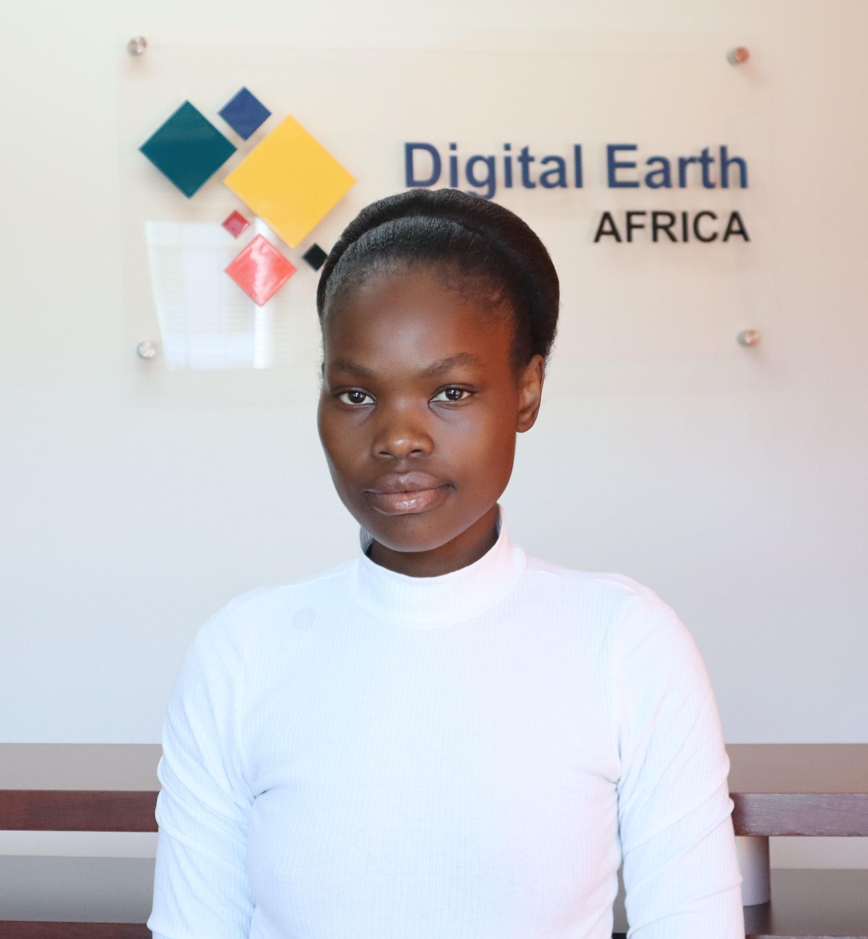
Welcoming a new Intern: Empowering South African Youth through Digital Earth Africa and The Innovation Hub
At Digital Earth Africa, we are delighted to introduce our newest team member, Mahlatse Chokoe, who joins us as the Program Management Intern. This 12-month internship, starting…09 Jun 2023