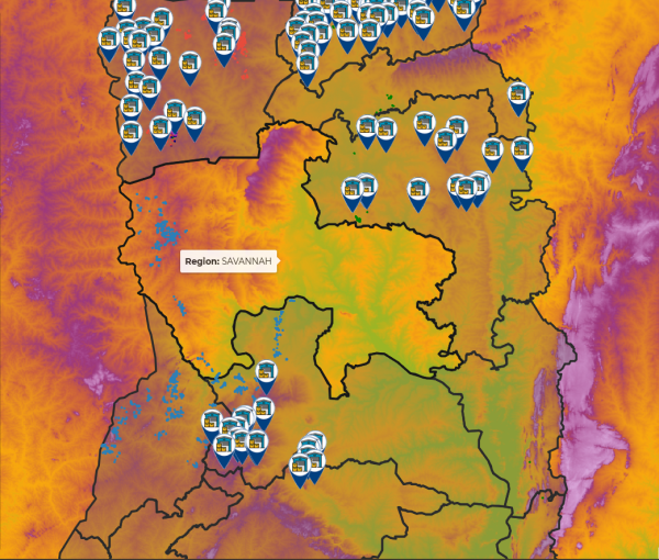
Using satellite data to monitor agriculture in Ghana - The GAIMS platform from Big Data Ghana.
Created by the team at Big Data Ghana, GAIMS is an online open data platform focusing on agricultural data in Ghana. It aims to provide the agricultural sector in Ghana with…11 Oct 2021
Advances in Geomatics Research Pre-Conference (AGRC2021) workshop
The Department of Geomatics and Land Management, Makerere University will hold the 6th Advances in Geomatics Research Conference (AGRC2021) virtual event streaming from…06 Oct 2021
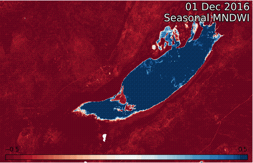
Water Assessment and Monitoring in the Lake Ngami, Lower Okavango Delta, Botswana
The Okavango Delta is a dynamic and complex freshwater wetland in Botswana. It changes with the seasons, years and over the course of decades due to its position within a complex…20 Sep 2021
New tools to tackle food insecurity in Africa
Consistent access to sufficient food is one of the biggest challenges facing the African continent. 33.8 million people are living with acute food insecurity in East Africa alone…09 Sep 2021
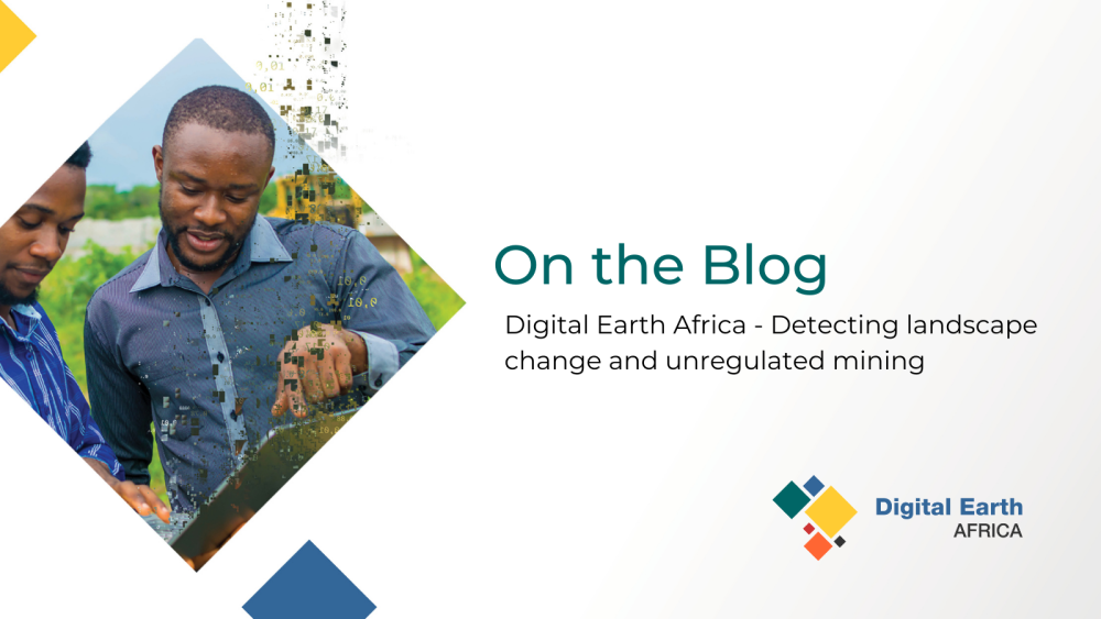
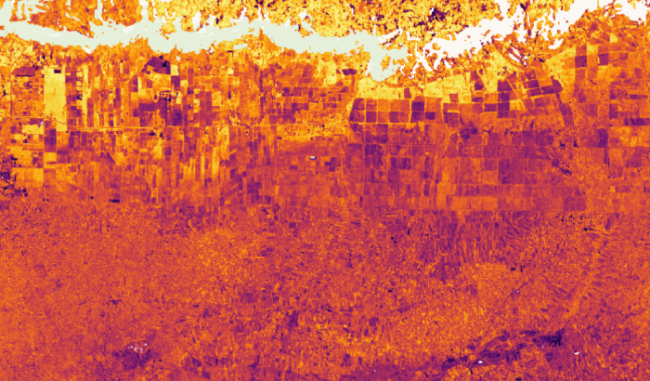
Digital Earth Africa - Detecting landscape change and unregulated mining
Preventing just 10% of unregulated mining would be worth $900 million to the African economy (1). Digital Earth Africa (DE Africa) can be used to provide meaningful insight…07 Sep 2021
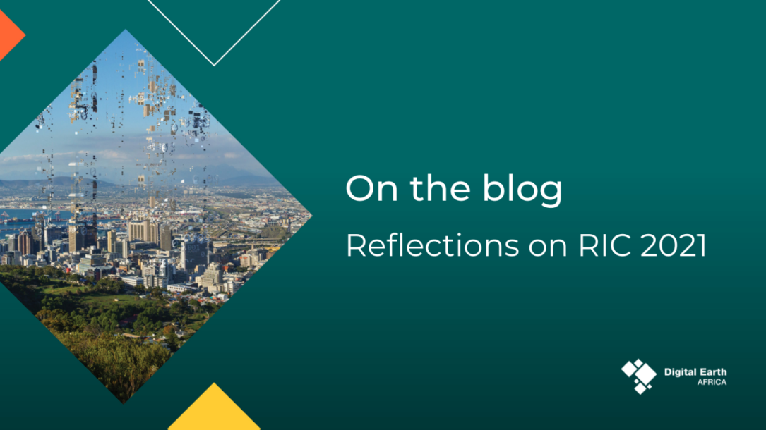
Reflections on RIC 2021
Our team was excited to attend the RCMRD International Conference last week as a gold sponsor. The team presented in six sessions showcasing the Digital Earth Africa platform, the…02 Sep 2021

Meet Joseph, our new User Engagement Manager - EO/GIS specialist
This month we welcomed Joseph Tuyishimire to the Digital Earth Africa (DE Africa) Establishment Team. Joseph is an Earth observation (EO) and Geospatial Information System (GIS)…31 Aug 2021

Rencontrez Joseph, notre nouveau Responsable de l'engagement des utilisateurs - Spécialiste OT/SIG
Ce mois-ci, nous avons accueilli Joseph Tuyishimire dans l'équipe d'établissement de Digital Earth Africa (DE Africa). Joseph est un spécialiste de l'Observation de la Terre (OT)…31 Aug 2021
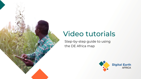
Digital Earth Africa Map step-by-step video tutorial series
Digital Earth Africa can be used to access a wide range of spatial data across Africa. Learn how it can be used for searching data, finding location coordinates and analysing…12 Aug 2021
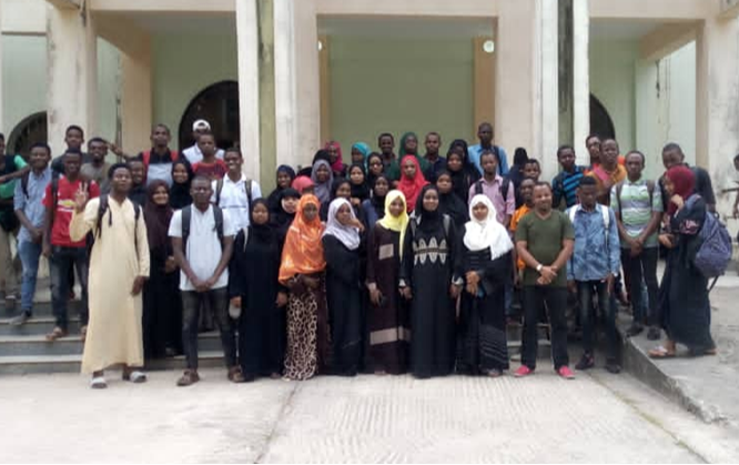
Enabling our future leaders in sustainability - DE Africa and the State University of Zanzibar
At Digital Earth Africa, we are passionate about empowering individuals to engage with Earth observation by enabling access to free and open Analysis Ready Data and training…06 Aug 2021