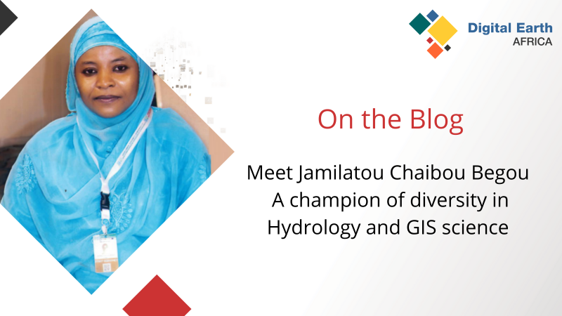
Meet Jamilatou Chaibou Begou - a champion of diversity in Hydrology and GIS science
At Digital Earth Africa we like to celebrate champions in the GIS field and recognise their work in furthering diversity and inclusion in the next generation of GIS professionals…29 Jun 2022
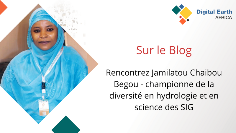
Rencontrez Jamilatou Chaibou Begou - championne de la diversité en hydrologie et en science des SIG
Chez Digital Earth Africa, nous aimons célébrer les champions dans le domaine des SIG et reconnaître leur travail pour favoriser la diversité et l'inclusion dans la prochaine…28 Jun 2022
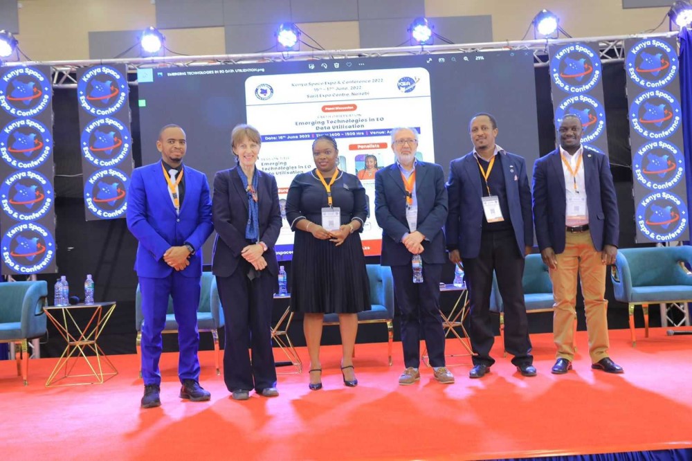
Digital Earth Africa at the Kenya Space Expo - June 2022
Digital Earth Africa was delighted to attend and sponsor the inaugural Kenya Space Expo and Conference 2022. It was an excellent event and a great opportunity to expand awareness…23 Jun 2022
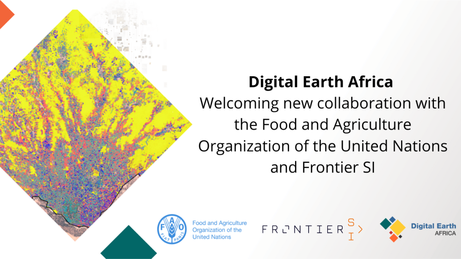
Digital Earth Africa welcomes new collaboration with the Food and Agriculture Organisation of the United Nations and Frontier SI
Digital Earth Africa (DE Africa) is excited to announce the commencement of a new project in collaboration with the Food and Agriculture Organisation of the United Nations (the…14 Jun 2022
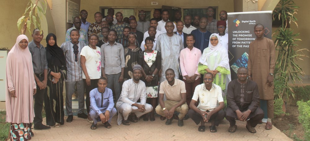
Using advanced remote sensing and cloud computing for satellite image processing: a workshop by AGHRYMET
AGRHYMET Regional Center hosted a workshop in May to train users on Digital Earth Africa’s Sandbox platform, helping individuals to develop the techniques they need to process and…09 Jun 2022
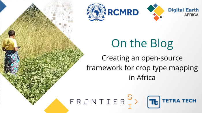
Creating an open-source framework for crop-type mapping in Africa
Digital Earth Africa is currently partnering with the Regional Centre for Mapping of Resources for Development (RCMRD) and FrontierSI to design an open-source framework for crop…02 Jun 2022
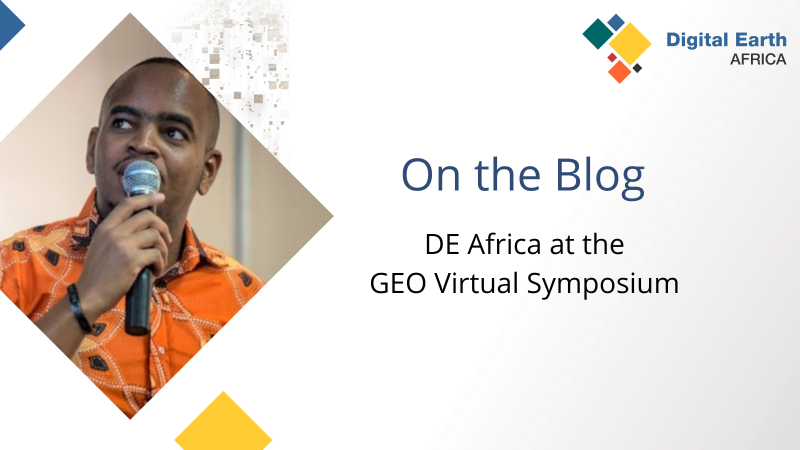
Digital Earth Africa at the GEO Virtual Symposium May 2022
The Digital Earth Africa team recently attended the GEO virtual symposium - Global Action for Local Impact. The team presented in two different sessions and attended a…06 May 2022
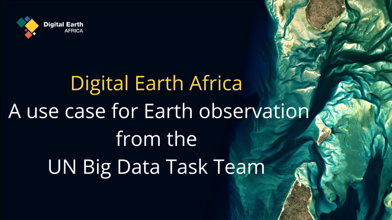
Digital Earth Africa - a use case for Earth observation from the UN Big Data Task Team
Digital Earth Africa is privileged to be featured in the latest video from UN Big Data. The video demonstrates Digital Earth Africa’s ability to deliver big data to enable an…13 Apr 2022
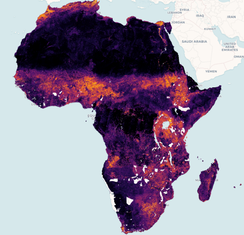
Cropland Extent is now available for the entire African continent
Digital Earth Africa is excited to announce that the provisional Cropland Extent Map now offers complete coverage of the entire African continent. According to…13 Apr 2022
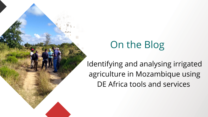
Identifying and analysing irrigated agriculture in Mozambique using DE Africa tools and services
Combining remote sensing technology with field surveys and local knowledge creates a powerful blend of information to comprehensively analyse patterns of irrigation, and to…11 Apr 2022