Skip to main content
Why Digital Earth Africa?
Satellite Data for Sustainable Development
Climate Action and Reporting
Water Resources and Flood Risks
Agriculture and Food Security
Land Degradation and Coastal Erosion
Urbanisation
Impact stories
About
Our Team
Our Community
Our Partners
Subscribe to Stakeholder Community Group
Our Principles
Governing Principles
Governance and Delivery
Governing Framework
Governing Board
Technical Advisory Committee
Working Teams
Strategies
Planning and Reporting
Investment Logic
Data and Services Roadmap
Plans and Reports
Platform and Resources
Platform
DE Africa Services
Coastlines
Water Observations from Space
Cropland Extent Map
Fractional Cover
GeoMAD
Mean NDVI and Anomalies
Waterbodies Monitoring Service
DE Africa Analysis Tools
Analysis Ready Data
Landsat
Sentinel-1
Sentinel-2
Training and Help
Activities and Media
Projects
Blog
In the Media
Insight Reports
Gallery
Presentations
Brand and Promotion
Get Involved
Contact
Careers
Menu
Search
Past Events
Breadcrumb
Home
Media Center
Events
Past Events
Events
All
Past
Upcoming
ASARECA Agriculture Ministerial Conference (AAMC)
17 May 2023 - 19 May 2023
Locate 23: The Geospatial Event
10 May 2023 - 12 May 2023
Measuring Development 2023: Mitigating the Risks and Impacts of Climate Change
04 May 2023
Zimbabwe Independence Day
18 Apr 2023
NewSpace Africa Conference 2023
25 Apr 2023 - 28 Apr 2023
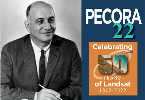
Pecora 2022
24 Oct 2022 - 27 Oct 2022
Conference of the Parties - COP27
07 Nov 2022 - 18 Nov 2022
GEO Week 2022
31 Oct 2022 - 04 Nov 2022
Geo Blue Planet Symposium
24 Oct 2022 - 28 Oct 2022
RCMRD International Conference - RIC 2022
06 Sep 2022 - 08 Sep 2022
Pagination
First page
« First
Previous page
‹‹
Page
1
Page
2
Page
3
Page
4
Page
5
Current page
6
Page
7
Page
8
Next page
››
Last page
Last »
Why Digital Earth Africa?
Satellite Data for Sustainable Development
Climate Action and Reporting
Water Resources and Flood Risks
Agriculture and Food Security
Land Degradation and Coastal Erosion
Urbanisation
Impact stories
About
Our Team
Our Community
Our Partners
Subscribe to Stakeholder Community Group
Our Principles
Governing Principles
Governance and Delivery
Governing Framework
Governing Board
Technical Advisory Committee
Working Teams
Strategies
Planning and Reporting
Investment Logic
Data and Services Roadmap
Plans and Reports
Platform and Resources
Platform
DE Africa Services
Coastlines
Water Observations from Space
Cropland Extent Map
Fractional Cover
GeoMAD
Mean NDVI and Anomalies
Waterbodies Monitoring Service
DE Africa Analysis Tools
Analysis Ready Data
Landsat
Sentinel-1
Sentinel-2
Training and Help
Activities and Media
Projects
Blog
In the Media
Insight Reports
Gallery
Presentations
Brand and Promotion
Get Involved
Contact
Careers