What is the project ‘Creating an open-source framework for Crop-Type mapping in Africa’?
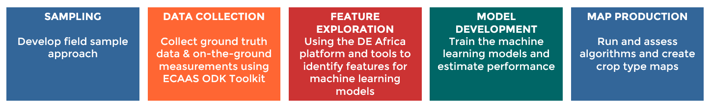
Digital Earth Africa partnered with the Regional Centre for Mapping of Resources for Development (RCMRD) and FrontierSI to develop an end-to-end framework for crop type mapping which takes users through the steps of field data collection, model development, and map production. The project was undertaken in 2022, supported by the Enabling Crop Analytics at Scale (ECAAS) initiative, implemented by Tetra Tech.
The project team leveraged the Digital Earth Africa platform to develop the workflow following an established process of co-design and co-production through the Digital Earth Africa Product Development Task Team (PDTT). The associated workflows enable users to combine their data with analytical tools, analysis ready satellite images, and continental services from Digital Earth Africa in an open-source environment.
The Workflow
The workflow was developed in partnership with RCMRD for crop type mapping in Zambia, and is currently being scaled to Niger in partnership with AGRYHMET, and to Rwanda and Mozambique in partnership with Food and Agriculture Organisation of the United Nations (FAO).
The open-source framework allows for future innovation in the development of EO-based crop analytics and can be extended and scaled to other countries across the continent. The workflow is designed to be used in the Digital Earth Africa Sandbox, which has access to several continent-wide analysis-ready satellite datasets and derivative products. The workflow is provided as a collection of documented Jupyter notebooks in an open GitHub repository.
The countries in focus for the project are:
- Zambia
- Namibia
Project activities
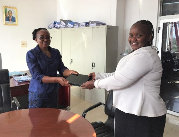
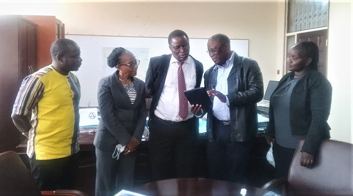
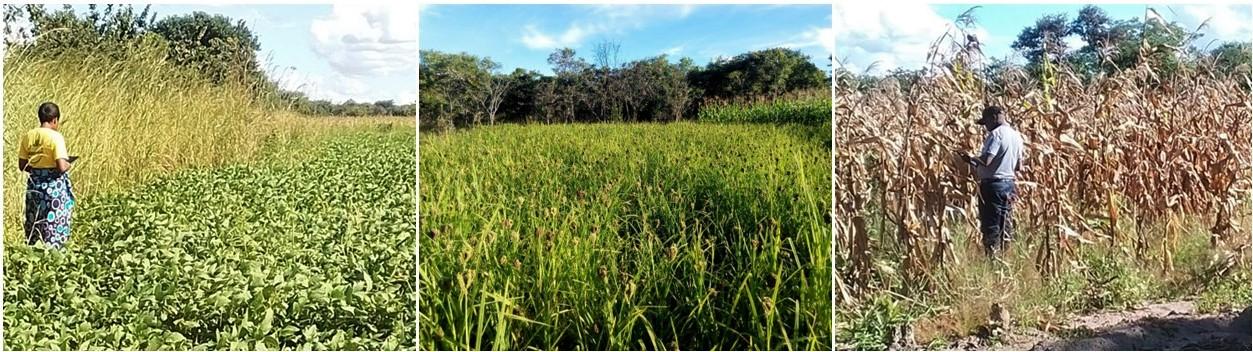
During early 2022 the project team, led by RCMRD and joined by representatives from the Ministry of Agriculture in Zambia, conducted training in the use of the ODK-based ECAAS field mapper toolkit, followed by field data collection. Learn more about the field work and knowledge transfer activities.
The project team continued scaling the workflow into other Africa countries through the expansion into Niger. In partnership with AGRHYMET and assistance from Bako Mamane, the first components of the workflow have been completed. This included field data collection, sampling design and training from the DE Africa team.

The DE Africa team participated in the ECAAS closing event and workshop in Washington, DC in December gathering a large portion of the project’s community of practice. This concluded the first phase of the initiative and provided an opportunity for the team to collaborate ahead of continuing co-designing for future phases of work.
Food and water security in Africa
Africa is home to 75 million people who are acutely food-insecure, in crisis, or worse. This number continues to grow faster than anywhere else in the world. Consistent access to sufficient food is one of the biggest challenges facing the African continent. 33.8 million people are living with acute food insecurity in East Africa alone, and a growing population paired with decreasing food production mean predictions are that Africa will be fulfilling only 13% of required food production by 2050. Learn more about the role DE Africa’s services and tools can plan in enabling food security solutions across Africa.
Why is it important to predict crop yields on national scales in Africa?
Across Africa it is more common for agricultural activities to occur at local smallholder scales as opposed to large commercialised operations. Smallholders are particularly vulnerable to the effects of climate change and extreme weather events such as floods and droughts. Using workflows and the DE Africa tools and services, local and national governments can model the effects of climate and weather and understand how this may affect crops, and therefore the extent to which it may affect food production in their region.
How do you empower smallholders to make data-driven decisions to enhance food production?
Using frameworks and tools such as DE Africa enables smallholders to assess and track crop types, boundaries and harvest information. This information is critical to assess their on-hand capital and calculate more accurate estimates for insurance. This information will support smallholders make informed decisions and support increased food production, predict crop yield and select the appropriate crop for the condition land.