Digital Earth Africa is proud to make Sentinel-1 Analysis Ready Data (ARD) open and free for the whole African continent.
Available through the Digital Earth Africa Map and sandbox, Sentinel-1 ARD allows users to ‘look through cloud,’ a feature that will be particularly pertinent when monitoring tropical and equatorial regions.
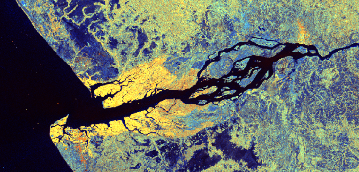
Part of the Copernicus program, Sentinel-1 is the first Synthetic Aperture Radar (SAR) satellite to provide routine and frequent global coverage, and its SAR sensors allow for new ways of studying the landscape.
A world-first in continental data
Digital Earth Africa worked with partner, Sinergise, as well as CEOS Systems Engineering Office and the international community to ensure the Sentinel-1 data meets the ARD specification. Pipelines were also built to automatically process the data so that African users can gain access to Sentinel-1 data around a day after it is acquired.
This is the first time that radar data has been produced automatically in a way that meets ARD specifications and fed into a continental data cube.
Improvements to decision making
The ready availability of this data will result in massive improvements to users’ ability to map water, crops and land cover. It will be particularly useful in areas typically densely covered with cloud.
Sentinel-1 in action
Sentinel-1 has proven itself invaluable in the study of Mount Nyiragongo in the Democratic Republic of Congo.
Mount Nyiragongo is an active volcano, which erupted on 22 May 2021 at around 17:00 GMT. Lava approached the airport in Goma, and moved towards the city centre. Highways were cut off by lava, and authorities urged residents from the city of Goma to evacuate.
The area is frequently covered by clouds and only limited ground surface can be discerned by optical (Sentinel-2 or Landsat) or thermal imagery (Landsat) at any given time.
Extensive new lava flow is clearly identifiable with Digital Earth Africa Sentinel-1 Radar data.
Discover for yourself
Sentinel-1 data is open and accessible to all users, regardless of your level of technical competency.
Explore the data in the Digital Earth Africa Sandbox or Map.
Digital Earth Africa provides a free 6-week self-paced training course, making Earth observation data accessible to problem-solvers worldwide.
For more information on the data specification, visit Digital Earth Africa Docs.
For more information on CEOS Analysis Ready Data, visit www.ceos.org/ard