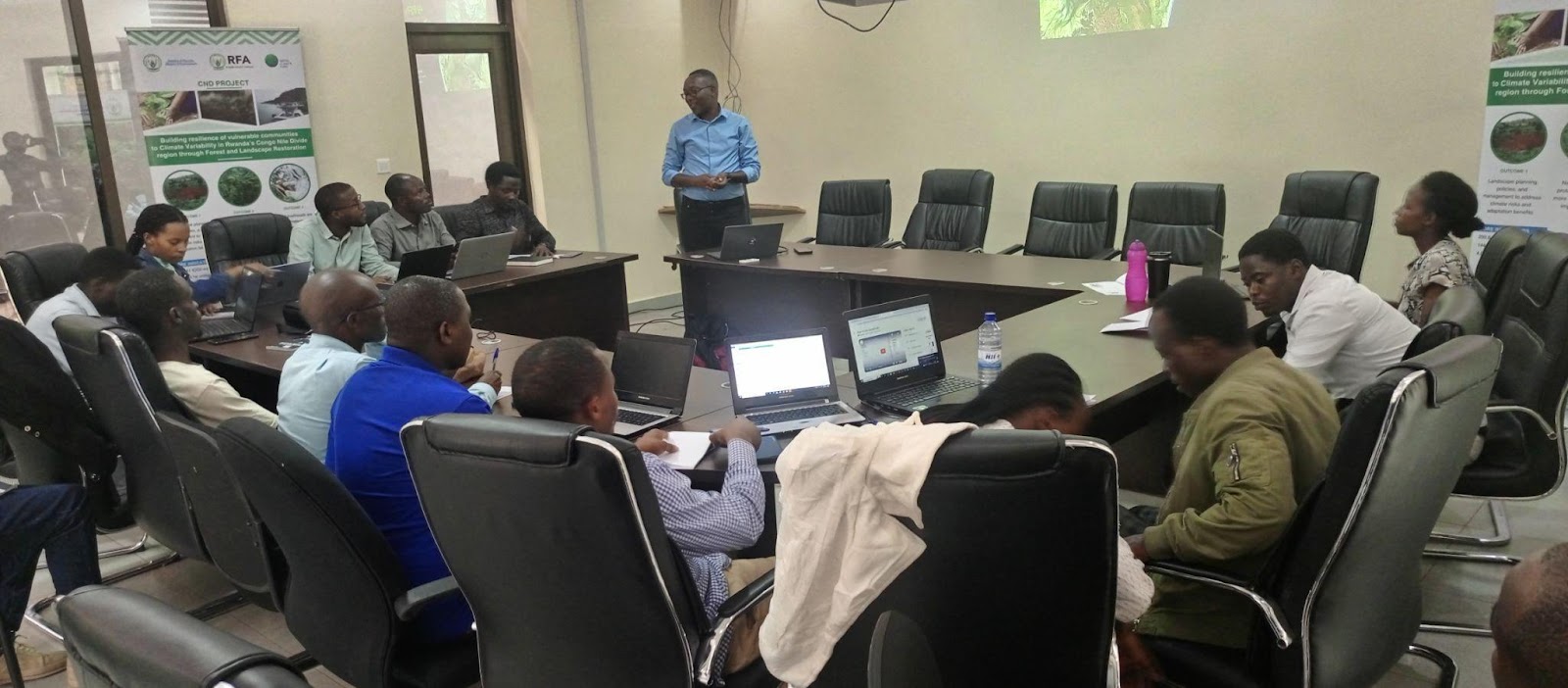
Between the watersheds of the massive Congo and Nile River water basins, the Digital Earth Africa team has recently completed capacity training with the Rwandan Forest Authority (RFA) to strengthen the monitoring of landscape changes and overall climate resilience, using the digital tools available.
The training focused on the use of DE Africa platforms (maps and sandbox) to explore the vegetation trends in the intervention area. Training aimed to increase the participants skills in geospatial technologies and to enable the project to keep track of forest and landscape changes in eight districts of the Project intervention area. By the end of the training, participants understood how to use the DE Africa data and platforms, including DE Africa Maps, and the DE Africa Sandbox to explore forest cover changes in the CND project intervention areas.
Through the use of the maps, participants explored results from the restoration efforts in the Western Province around Gishwati-Mukura National Park, consisting of two small rainforest patches surrounded by farmlands. The area has experienced a high demographic pressure, and several restoration projects have needed to be implemented under Government and NGO funds.

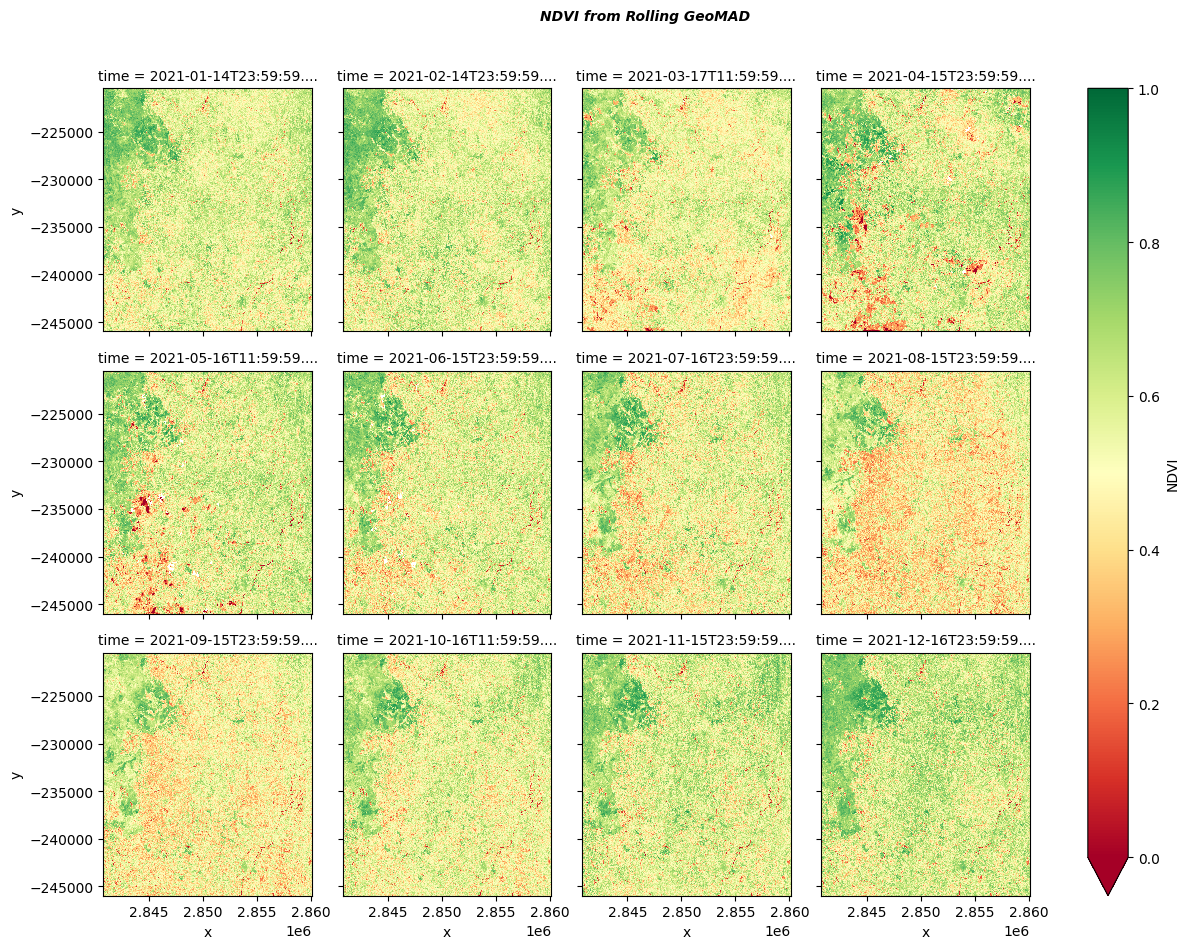
Using NDVI derived from the sentinel 2 GEOMADs freely accessible via DE Africa maps, participants realised that Gishwati Forest Patch of GIshwati-Mukura National Park and the surrounding areas were considerably restored.
Participants used multiple notebooks including vegetation change detection, forest monitoring, rolling GEOMADs land cover classification and fractional cover, in order to understand seasonal and annual trends of both the planted and natural vegetation in the project intervention areas.

The project intervention area looks greener in the rainy season (October to December and March to May). However, April and May shows a higher standard deviation for the year 2021.
Twenty field technicians, recently recruited under the RFA's project, underwent the training in order to be deployed as part of the RFA's project to build climate resilience for the Congo-Nile Divide (CND) region. The project, “Building Resilience of Vulnerable Communities to Climate Variability in Rwanda’s Congo Nile Divide through Forest and Landscape Restoration”, focuses on the conservation and restoration of this region in Rwanda, a high-elevation area encompassing 444,600 hectares. The main interventions are: Integrated Land-use planning; Natural forest restoration; Agroforestry, and; Livelihood programs.

Participants had time to do some exploratory analyses using DE Africa maps and some statistical analysis using the sandbox
DE Africa focuses on in-country engagement, of which this capacity building is an example. The Rwanda Forest Authority has the mandate to oversee all forest management and restoration initiatives in Rwanda (one of DE Africa priority countries for the ongoing phase. Therefore, in addition to the last engagements through the Information for Agriculture, Food and Water Security (IAFWS) and the land cover mapping workshop in collaboration with FAO, the training would be a great opportunity to increase the uptake of DE Africa products and services for forest cover monitoring at national level.
The training proved to be an excellent platform for raising awareness about the capabilities of DE Africa platforms for forest monitoring across the continent. DE Africa maps were leveraged to conduct exploratory analyses on vegetation cover, and the sandbox for detecting statistical changes in vegetation and forest cover. Further training will be arranged in the near future, with the DE Africa and RFA teams maintaining contact to explore incorporating the showcased platforms into the CND Project's own monitoring and evaluation tool.