
Meet one of the four DE Africa and YouthMappers Technical Challenge winners
Digital Earth Africa is on a mission to acknowledge and celebrate the brilliance and diversity of African champions in the geospatial informatics industry. Today, we bring you an extraordinary story that pays homage to the next generation of GIS professionals, identified through our esteemed partnership with YouthMappers. YouthMappers, a global network of university-based chapters utilizing open geospatial data and mapping technologies to address local development challenges, has introduced us to outstanding individuals transforming their communities. Let's dive into the captivating journey of Joshua Kacheyo, whose dedication and innovative project earned him recognition as one of the DE Africa and YouthMappers Technical Challenge 2022 winners.
From the heart of Malawi University of Science and Technology (MUST), in Thyolo, Malawi, Joshua Kacheyo shines as a beacon of inspiration. Leading the way for MUST YouthMappers, Joshua and his team emerged victorious in the Technical Challenge, presenting their groundbreaking project: "Deforestation Mapping, Climate Change, and Food Security Assessments at Dzalanyama Forest Reserve." Today, Joshua shares the story behind their research project and his dreams for the future.
When asked about his motivation to enter the challenge, Joshua responded with determination, "As Chapter President, I have always aspired to be a role model," he revealed. "Volunteering can be a challenge in our university context, so our team sought to surpass visible volunteerism by leading, managing, and publishing a project that creates a tangible impact. We wanted to show the world we possess the power to effect change." Furthermore, the prospect of broadening their horizons and shaping their careers beyond Malawi was a driving force for Joshua and his team.
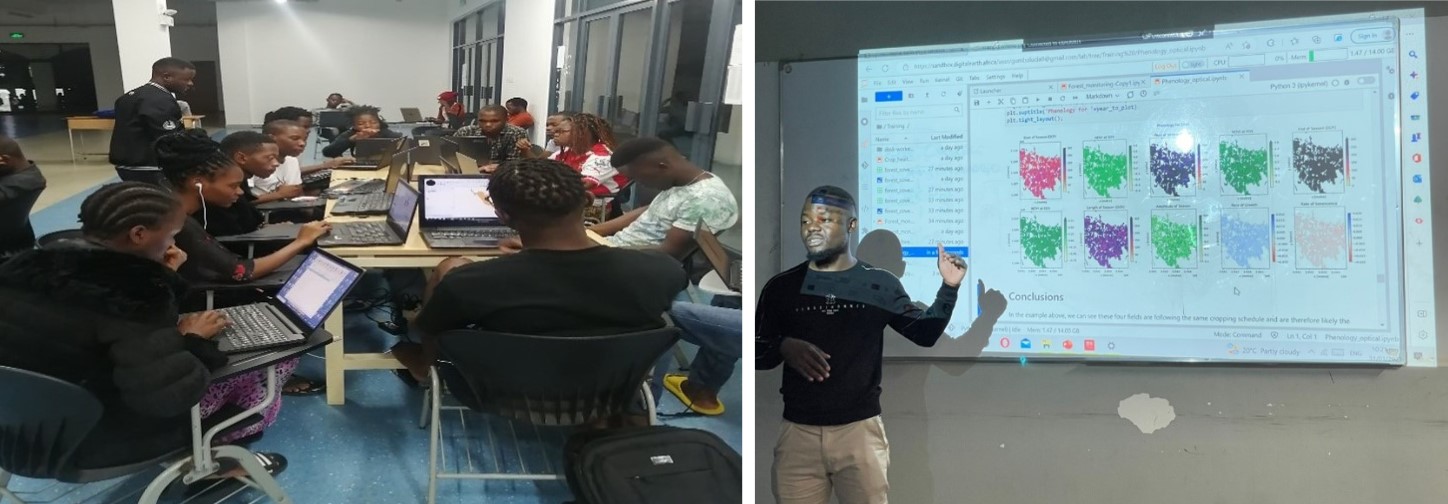
Their project delves into the devastating repercussions of Malawi's deforestation, climate change, and food insecurity. Utilizing the Digital Earth Africa Sandbox's pre-defined automated notebooks, they embarked on a mission to unveil the extent and pace of deforestation in the Dzalanyama forest reserve, assess the impacts of climate change in the region, and shed light on food insecurity. Armed with geospatial technology, Joshua and his team aimed to raise awareness and ignite a collective drive to protect the environment and ensure food security for their community.
Victory in the Technical Challenge has transformed Joshua's life. "I now possess an unwavering belief in the potential of GIS and Remote Sensing as a career path," he proudly declared. The project has been an invaluable lesson in financial management, resource allocation, and time optimization. Moreover, it has honed Joshua's professional networking skills, allowing him to cultivate meaningful connections within the industry. Joshua is confident that his team members have experienced tremendous personal growth throughout this transformative journey.
Joshua estimates that they have completed around 45-48% of the project in terms of progress. Balancing the demands of their academic calendar has posed particular challenges, leading to a slightly slower pace. Nevertheless, their unwavering determination pushes them to persevere, with an unwavering commitment, leaving no stone unturned in their pursuit of excellence.
As the project continues close, Joshua shared, "I am eager to witness the ripple effect of our work in our community and beyond". With their research findings, Joshua and his team are poised to translate their discoveries into tangible actions that will bring about positive change for those affected by deforestation and food insecurity.
At Digital Earth Africa, we stand in awe of Joshua Kacheyo and his team's extraordinary accomplishments. Their unyielding dedication to addressing environmental challenges serves as an inspiration to us all. We firmly believe that the passion and unwavering commitment demonstrated by young professionals like Joshua will pave the way for a sustainable and resilient future in Malawi and throughout the African continent. Together, we can transform the world through geospatial innovation and collaborative efforts, one project at a time.
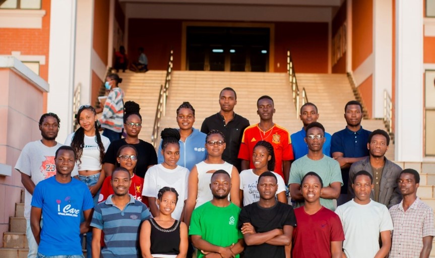
FRONT ROW: Yanjanani Banda, Prince Banda, Thandiwe Chisi, Joshua Kacheyo (Lead), Chimwemwe Pemba, Jed Mkumbira, Hope Matemba, Peter Missi.
MIDDLE ROW: Hesborn Jiya, Natasha Mhone (3rd Lead), Chifundo Tembo, Onester Bester, Sylvia Chafelera, Hillary Mazibuko, Precious Chisuse.
BACK: Twande Sikwese (2nd Lead), Lucia Gumbo, Ketrina Salaniponi, McCathy Innocent Gomani, Hamza Nkhumbwa, Duncan Nyirenda, Chifuniro Kapota.
Want to learn more about the Digital Earth Africa Platform?
Visit our learning website: https://learn.digitalearthafrica.org
Stay connected with us via: https://www.digitalearthafrica.org and our social media platforms: Digital Earth Africa (@DEarthAfrica) / Twitter on Twitter and Digital Earth Africa | LinkedIn via LinkedIn.