The Digital Earth Africa Innovation Challenge is a small-scale incubator program targeted at African businesses. It aims to solve real world problems by employing satellite data, making the most of Digital Earth Africa services and fostering collaboration between end users and the private sector.
As winners of the Innovation Challenge, GIS experts Big Data Ghana and agriBORA, who use data to improve agribusiness, will take part in the 3-month incubator, using the full archive of analysis ready satellite data available through Digital Earth Africa to help produce open source data or software to solve problems for users across Africa.
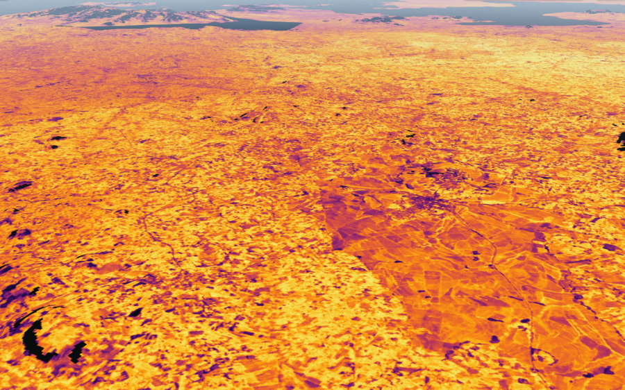
Big Data Ghana will use DE Africa’s Cropland extent map, WOfS and NDVI to work on an agriculture information hub aimed at Agripreneurs, banks and investors. The hub will collate Earth observation and quantitative data to produce accurate insights about the agricultural potential of land - for example where to crop, where to buy, the cost of cropping, irrigation requirements and yield estimates.
“Through the Innovation Challenge, Big Data Ghana can advance its vision of providing credible data platforms that enhance informed and intelligent decision making,” says Henry Baffoe, Director Technical and Strategies at Big Data Ghana. “We hope that what we’re building will open up investment in irrigation development, precise fertilizer blend and application, crop insurance and access to credit facilities to support all-year-round cultivation and improved yield for smallholder farmers.”
agriBORA will use the Innovation Challenge to progress its SMARTFARMER project, aimed at helping soybean and maize farmers in western Kenya to make more informed decisions and optimise their yield, improving productivity and income.
“We look forward to providing farmers with farm and crop specific recommendations for their farming practices,” says agriBORA CEO, Kizito Odhiambo. “This will make extension services more available to farmers leading to improved productivity and increased transactions through our platform where we make farmers visible, accessible and bankable. By integrating satellite imagery such as Sentinel-1 and -2 from the DE Africa platform with crop models, we will be able to provide farmers in different regions across Africa with practical advice and recommendations exactly when they need them.”
“We are delighted to be running this Challenge,” says Dr Lisa Hall, Managing Director of the Digital Earth Africa Establishment Team. “It’s exciting to be working with industry to find new ways of applying the data and services available through Digital Earth Africa to make a real difference to lives and businesses in Africa.”
Final challenge results will be shared in the new year.