•  
  •  
  •  
  •  
  •  
  • Why Digital Earth Africa?
    • Satellite Data for Sustainable Development
    • Climate Action and Reporting
    • Water Resources and Flood Risks
    • Agriculture and Food Security
    • Land Degradation and Coastal Erosion
    • Urbanisation
    • Impact stories
  • About
    • Our Team
    • Our Community
      • Our Partners
      • Subscribe to Stakeholder Community Group
    • Our Principles
      • Governing Principles
    • Governance and Delivery
      • Governing Framework
      • Governing Board
      • Technical Advisory Committee
      • Working Teams
    • Strategies
    • Planning and Reporting
      • Investment Logic
      • Data and Services Roadmap
      • Plans and Reports
  • Platform and Resources
    • Platform
    • DE Africa Services
      • Coastlines
      • Water Observations from Space
      • Cropland Extent Map
      • Fractional Cover
      • GeoMAD
      • Mean NDVI and Anomalies
      • Waterbodies Monitoring Service
    • DE Africa Analysis Tools
    • Analysis Ready Data
      • Landsat
      • Sentinel-1
      • Sentinel-2
    • Training and Help
  • Activities and Media
    • Projects
    • Blog
    • In the Media
    • Insight Reports
    • Gallery
    • Presentations
    • Brand and Promotion
  • Get Involved
    • Contact
    • Careers
Menu
 

Technical Advisory Committee

Breadcrumb

  1. Home
  2. About Us
  3. Governance And Delivery
  4. Technical Advisory Committee

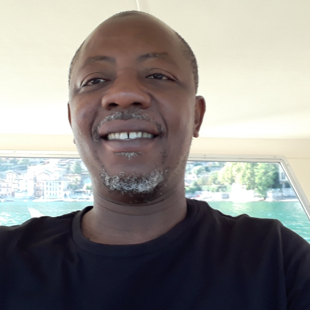
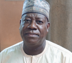
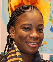
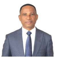
Our Technical Advisory Committee is a crucial team for DE Africa and includes experts drawn from all sectors and from across the continent. The TAC provides rigorous and practical guidance on the overall technical program for DE Africa. They operate according to the TAC Terms of Reference.

Andiswa Mlisa
Andiswa Mlisa (co-chair)
South Africa National Space Agency (SANSA)
Omar Seidu (co-chair)
Ghana National Statistical Service
Dr Hamed Alemohammad
Clark University Center for Geospatial Analytics
Dr Kofi Asare
Dr Kofi Asare
Ghana Space Science and Technology Institute (GSSTI) and Ghana GEO
David Borges
David Borges
Committee on Earth Observation Satellites (CEOS)
Julius Buyengo
Julius Buyengo
Regional Centre for Mapping of Resources for Development (RCMRD)
Fernando Ferreyra
Fernando Ferreyra
Development Gateway Inc
Joe Flasher
Joe Flasher
Amazon Web Services (AWS)
Tobias Landmann
Tobias Landmann
International Centre for Insect Physiology and Ecology (icipe)
Bako Mamane
Bako Mamane
Agriculture, Hydrology, Meteorology Regional Centre (AGRHYMET)
Fatou Mar
Fatou Mar
Sahara and Sahel Observatory (OSS)
Charles Mwangi
Charles Mwangi
Kenya Space Agency (KSA)
Prof. Lazarus Ojigi
Prof. Lazarus Ojigi
Africa Regional Institute for Geospatial Information Science and Technology (AFRIGIST)
Pauline Okeyo
Pauline Okeyo
ESRI Inc
Prof Yashon Ombado Ouma
University of Botswana
Dr Sene Seydina Ousmane
Pan African Consortium of Experts (PACE)
Dr Amadou Sall
Dr Amadou Sall
Centre de Suivi Ecologique (CSE)
Juan Suarez
Juan Suarez
GMV Aerospace and Defence

Digital Earth Africa is committed to ensuring digital accessibility for people with disabilities. We are continually improving the user experience for everyone, and applying the relevant accessibility standards.

© 2020 Digital Earth Africa. All rights reserved.

Footer menu

  • Subscribe
  • Privacy Policy
  • Why Digital Earth Africa?
    • Satellite Data for Sustainable Development
    • Climate Action and Reporting
    • Water Resources and Flood Risks
    • Agriculture and Food Security
    • Land Degradation and Coastal Erosion
    • Urbanisation
    • Impact stories
  • About
    • Our Team
    • Our Community
      • Our Partners
      • Subscribe to Stakeholder Community Group
    • Our Principles
      • Governing Principles
    • Governance and Delivery
      • Governing Framework
      • Governing Board
      • Technical Advisory Committee
      • Working Teams
    • Strategies
    • Planning and Reporting
      • Investment Logic
      • Data and Services Roadmap
      • Plans and Reports
  • Platform and Resources
    • Platform
    • DE Africa Services
      • Coastlines
      • Water Observations from Space
      • Cropland Extent Map
      • Fractional Cover
      • GeoMAD
      • Mean NDVI and Anomalies
      • Waterbodies Monitoring Service
    • DE Africa Analysis Tools
    • Analysis Ready Data
      • Landsat
      • Sentinel-1
      • Sentinel-2
    • Training and Help
  • Activities and Media
    • Projects
    • Blog
    • In the Media
    • Insight Reports
    • Gallery
    • Presentations
    • Brand and Promotion
  • Get Involved
    • Contact
    • Careers