Skip to main content
Why Digital Earth Africa?
Satellite Data for Sustainable Development
Climate Action and Reporting
Water Resources and Flood Risks
Agriculture and Food Security
Land Degradation and Coastal Erosion
Urbanisation
Impact stories
About
Our Team
Our Community
Our Partners
Stakeholder Community Group
Our Principles
Governing Principles
Governance and Delivery
Governing Framework
Governing Board
Technical Advisory Committee
Working Teams
Strategies
Planning and Reporting
Investment Logic
Technical Roadmap
Plans and Reports
Platform and Resources
Platform
DE Africa Services
Coastlines
Water Observations from Space
Cropland Extent Map
Fractional Cover
GeoMAD
Mean NDVI and Anomalies
DE Africa Analysis Tools
Analysis Ready Data
Landsat
Sentinel-1
Sentinel-2
Training and Help
Activities and Media
Projects
Blog
Events
In the Media
Insight Reports
Gallery
Presentations
Brand and Promotion
Get Involved
Contact
Careers
Menu
Search
Events
Breadcrumb
Home
Media Center
Events
Events
All
Past
Upcoming
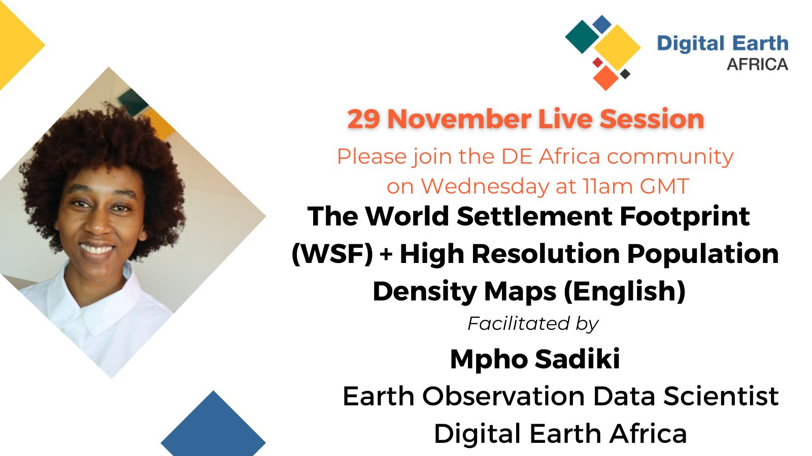
DE Africa Live Session- The world Settlement Footprint (WSF)+ High Resolution Population Density Maps
29 Nov 2023
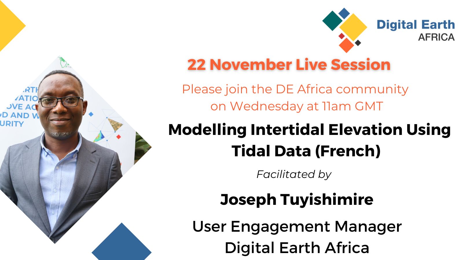
DE Africa Live Session- Modelling Intertidal Elevation Using Tidal Data
22 Nov 2023
DE Africa Live Session- NDVI Climatology and NDVI Anomaly
01 Nov 2023
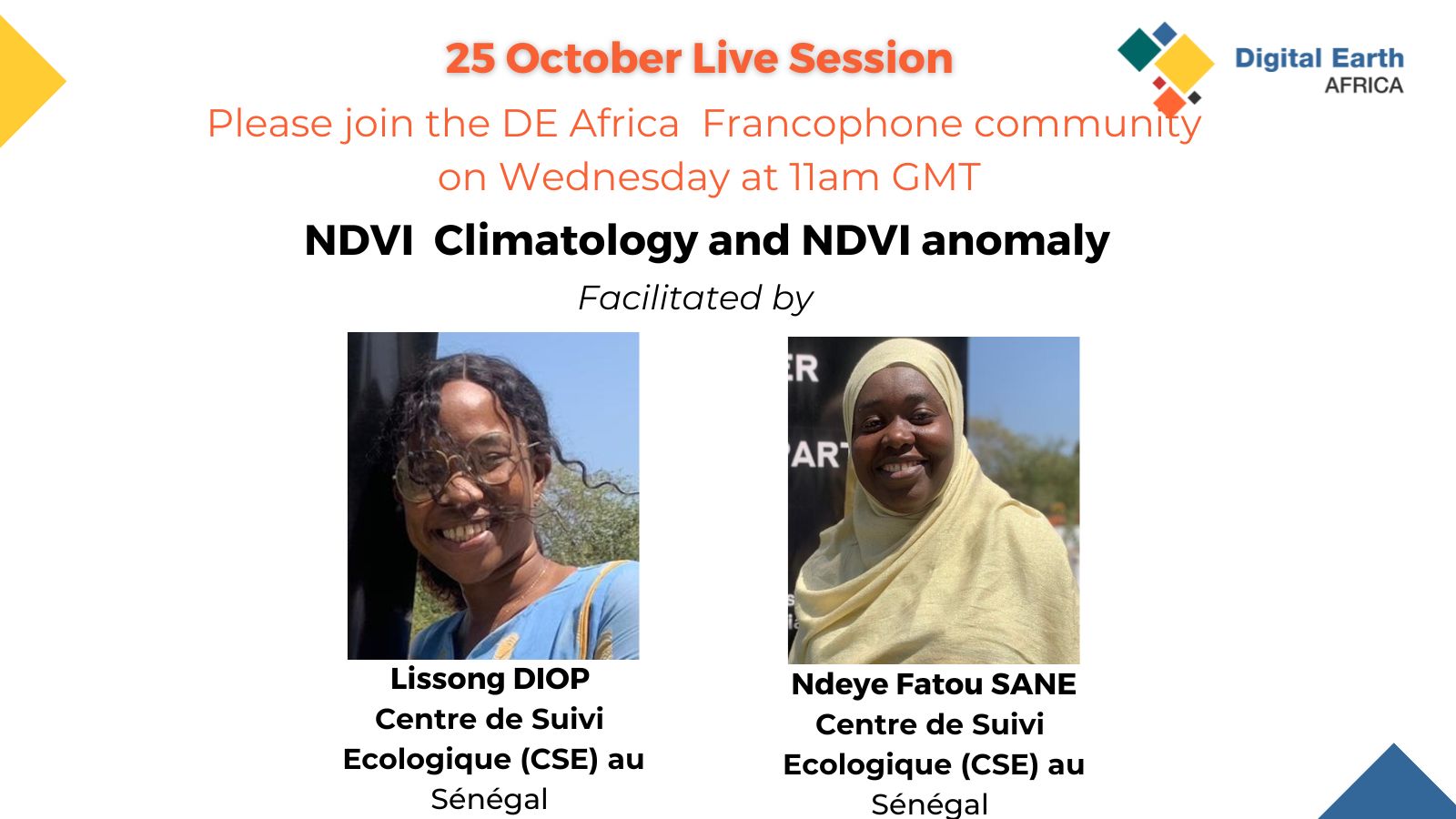
DE Africa Live Session- NDVI Climatology and NDVI Anomaly
25 Oct 2023
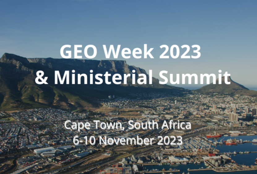
GEO Week 2023 & Ministerial Summit
06 Nov 2023 - 10 Nov 2023
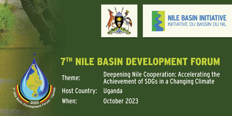
7th Nile Basin Development Forum 2023
16 Oct 2023 - 18 Oct 2023
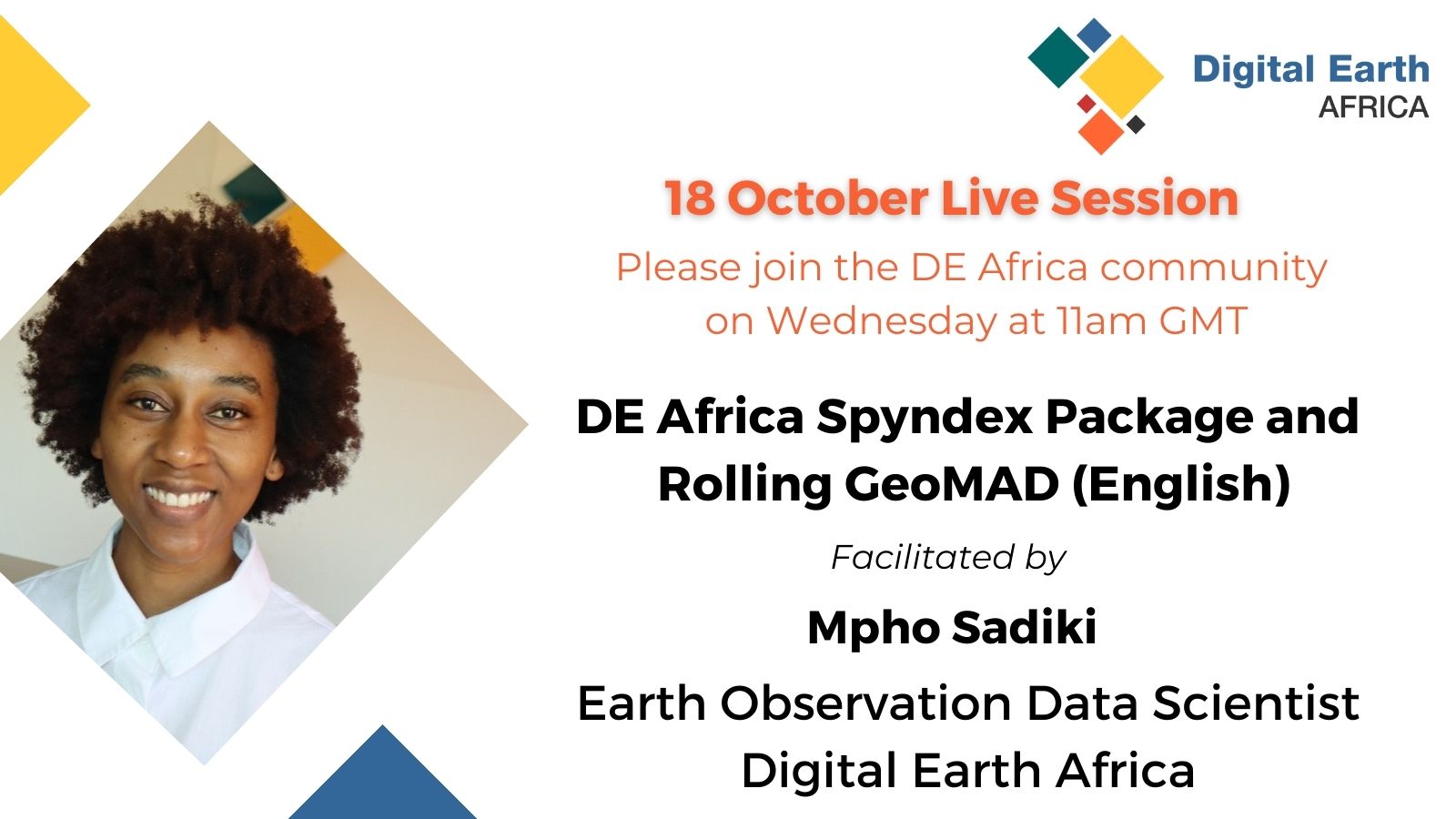
DE Africa Live Session -DE Africa Spyndex Package and Rolling GeoMAD
18 Oct 2023
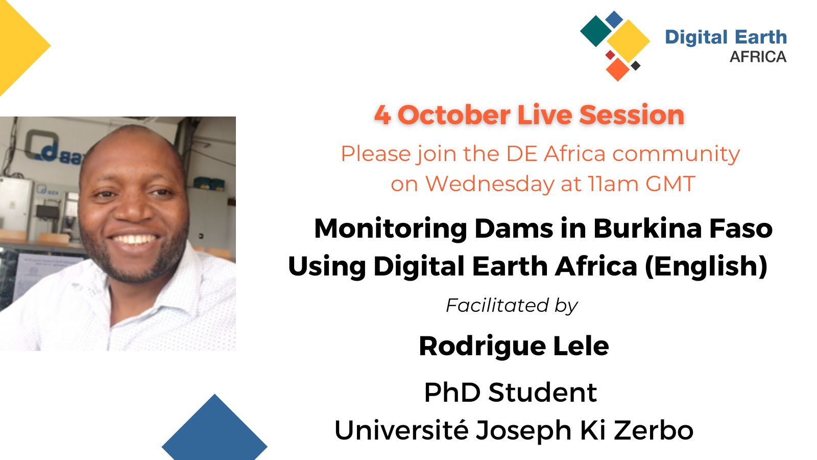
DE Africa Live Session -Monitoring Dams in Burkina Faso Using Digital Earth Africa
04 Oct 2023
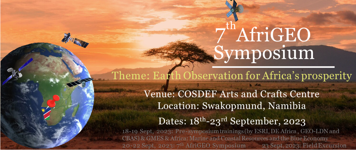
7th AfriGEO Symposium 2023
18 Sep 2023 - 23 Sep 2023
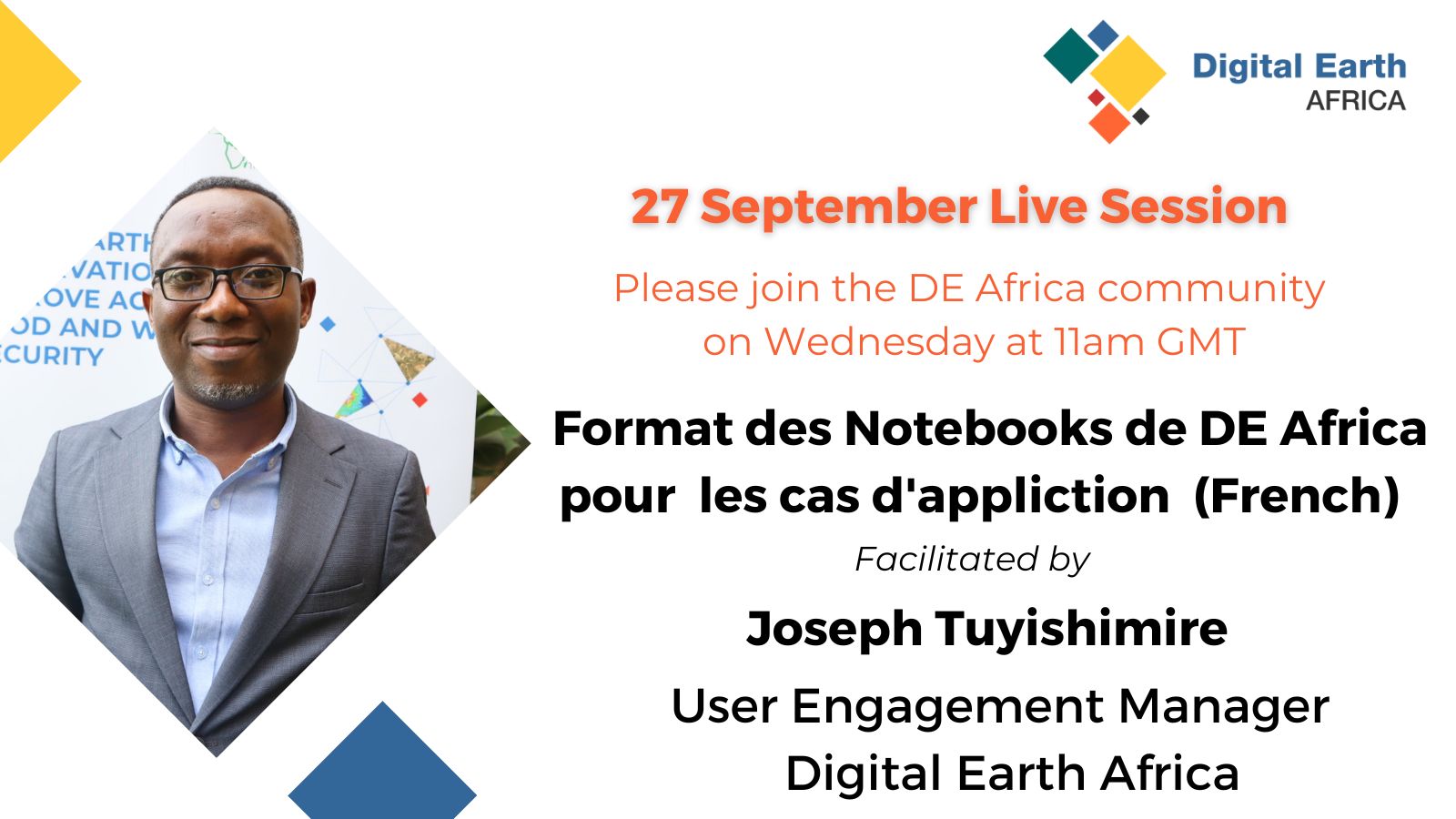
DE Africa Live Session- Format des Notebooks de DE Africa pour les cas d'application (French)
27 Sep 2023
Pagination
First page
« First
Previous page
‹‹
Page
1
Current page
2
Page
3
Page
4
Page
5
Page
6
Page
7
Page
8
Next page
››
Last page
Last »
Why Digital Earth Africa?
Satellite Data for Sustainable Development
Climate Action and Reporting
Water Resources and Flood Risks
Agriculture and Food Security
Land Degradation and Coastal Erosion
Urbanisation
Impact stories
About
Our Team
Our Community
Our Partners
Stakeholder Community Group
Our Principles
Governing Principles
Governance and Delivery
Governing Framework
Governing Board
Technical Advisory Committee
Working Teams
Strategies
Planning and Reporting
Investment Logic
Technical Roadmap
Plans and Reports
Platform and Resources
Platform
DE Africa Services
Coastlines
Water Observations from Space
Cropland Extent Map
Fractional Cover
GeoMAD
Mean NDVI and Anomalies
DE Africa Analysis Tools
Analysis Ready Data
Landsat
Sentinel-1
Sentinel-2
Training and Help
Activities and Media
Projects
Blog
Events
In the Media
Insight Reports
Gallery
Presentations
Brand and Promotion
Get Involved
Contact
Careers